

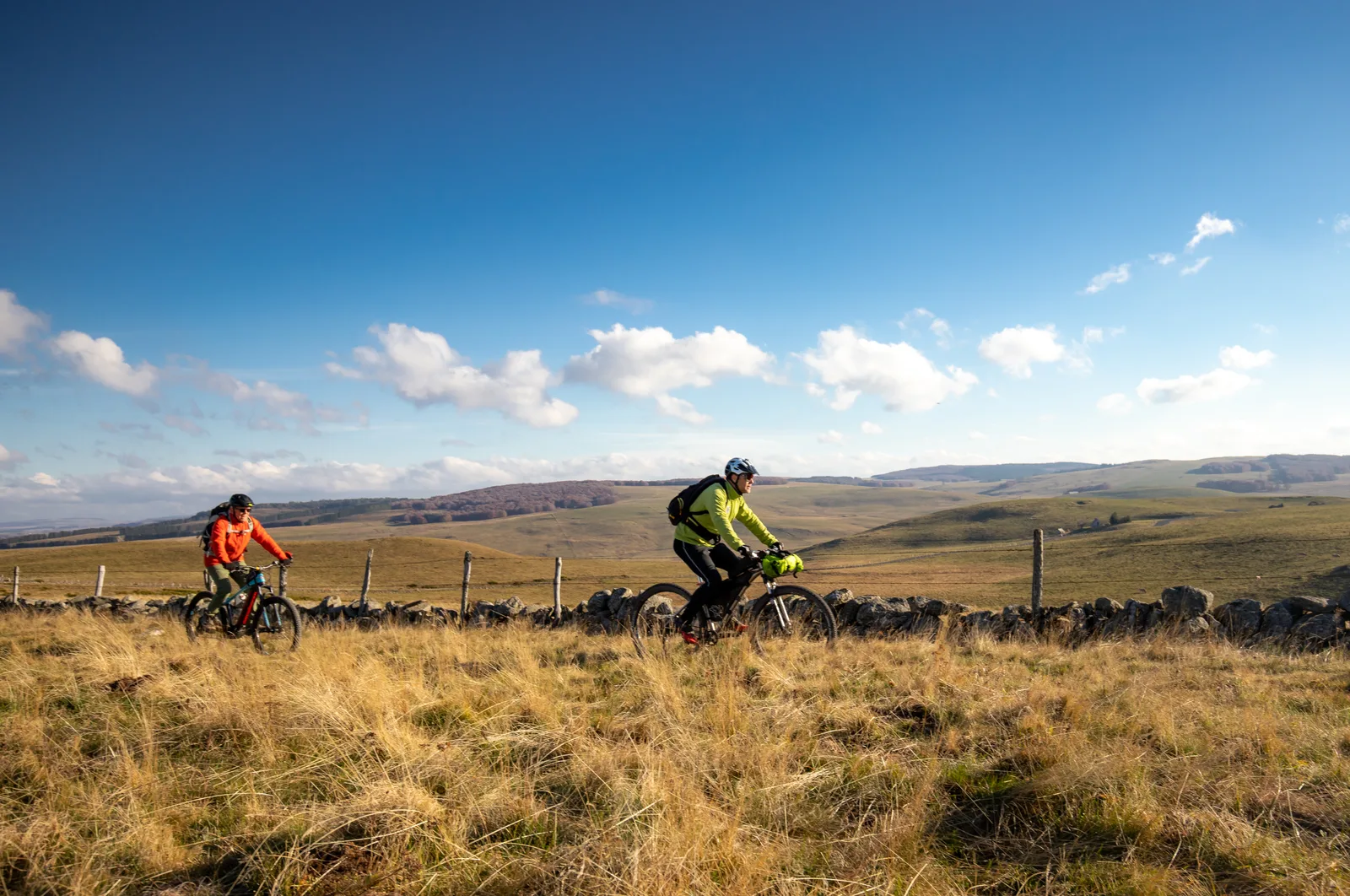
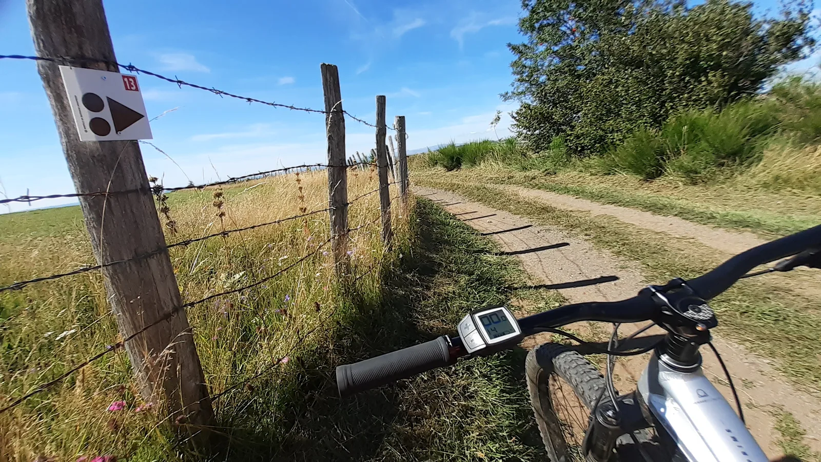
Station du Bouyssou, Le grand tour – VTT n°13 rouge
Route details
Bouyssou station, The big tour – Mountain bike n°13 red
Distance:28,3 km
Max Altitude :1363m
Your itinerary
Step 1
From the reception area of the Bouyssou resort, go behind the chalets to go around them by the snowshoe track and arrive at the bottom of the slopes. Go up the cross-country ski trail that runs along the road, cross several gates or Canadian passages.
Step 2
At Buron du Trap which is opposite the road, turn right into the forest and follow the black track. Then recover the Tour des Monts d'Aubrac which takes you back to the resort and around the Puech de Roussillon to the Croix du Pal.
Step 3
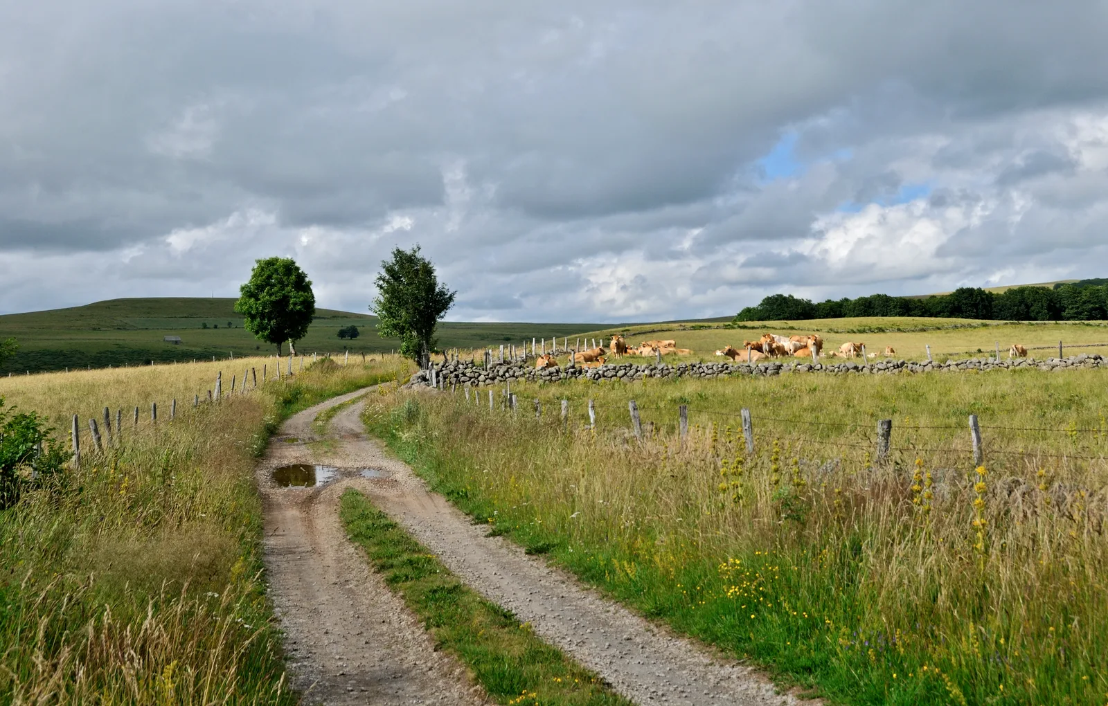
Begin a long descent on the edge of the forest with a magnificent view of the Aubrac Aveyronnais, descend to the Vayssaïre farm, pass it then turn left at the level of the crossroads and exit on a path on the left 100m further on.
Step 4
Continue on the track that descends to the D921, be careful when arriving on the departmental road. Take it on the left, pass the green point and go down into the housing estates and go up on a path that arrives on the heights of Laguiole. Go down on the left to find the secondary road which arrives in the village.
Step 5
At the roundabout, turn left to climb towards the artisanal zone, cross it then turn left at the back, behind the Forge de Laguiole building. Take a path that goes up to the road, once on the road, take a small road opposite to the left that goes up towards houses. After passing a large farm, take a path on the right which rises, at the next crossing turn left.
Step 6
Close the gates tightly, go up in a summer pasture then find a path in the forest, cross a small stream then turn left on the forest track 50m further on.
Step 7
At the level of the crossing of the tracks, turn right for 1km then go up steeply to the left in a path that goes up in the forest. Once back in the forest, follow the fence on a beautiful single track but be careful of any hikers and hikers. Follow this path on the edge until passing the edge of a bog and recover a gravel track, take it to the road. Take the road for 250m then turn right to return to the cross-country ski trail and find the starting point.
Was this content useful to you?
Thank you
Thank you for taking the time to let us know that this content was helpful to you. Your encouragement is essential to us, and your feedback allows us to improve.
Thank you
Thank you for taking the time to let us know that this content was not helpful to you. We're sorry about that.
Share this content
Share this content
