

La croix du Pal

Athletes will appreciate this hike which combines sporting effort and beautiful landscapes. Reaching an altitude of 1400 m at the top of the Croix du Pal has its effect!
Route details
Description
Follow the yellow markings between 1 and 3. From the Place de la Fontaine take the direction of the multipurpose room at the top of the village. Take rue de Peyrelade to the end and take Chemin du Calvaire, following it to the Bonnefon farm for approximately 200 m.
At the intersection take the road to the left for about 800 m.
Follow the GR® de Pays markings, red and yellow between 3 and 5. At the crossroads, turn right towards Vayssaire (stopover lodge). Leave the road on the right, 50 m before the Vayssaïre farm. Follow the draille (GR de Pays marked red and yellow) then a stony path and follow the forest to the Croix du Pal (iron cross on granite monolith at the crossroads of old communication routes).
After La Croix, follow the cross-country ski trail going straight to enter the forest of La Roquette-Bonneval, continue to the barrier.
From this point, leave the GR country and follow the yellow markings. Go down to the right, following the fence for 300 m (follow the signs carefully). Continue to the right in the woods (cross the fence) then left, go down through the woods and follow a track on the left until you reach the D 164. Take a hairpin turn to the right and follow the road for 300 m.
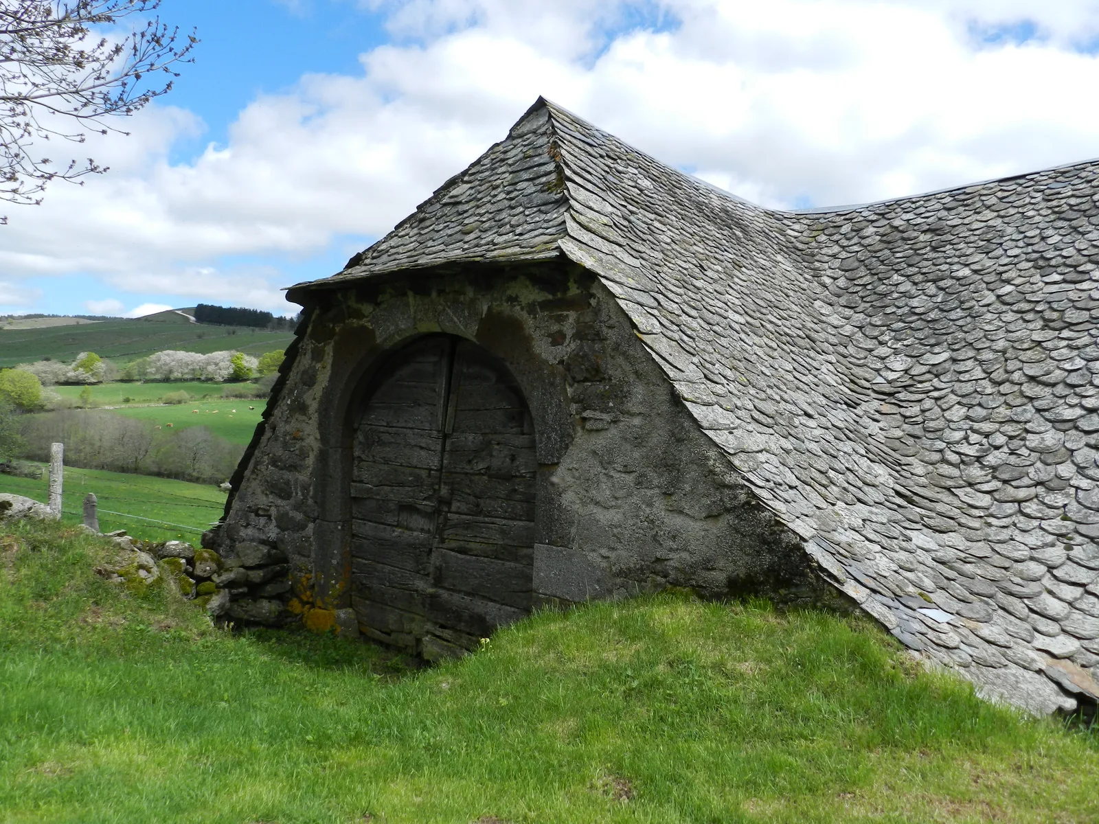
Turn left, then right on a sunken path (often muddy) lined with low walls. At the intersection, take the path on the right which crosses the wood and passes in front of the ruins of the Everses barn. Continue on the uncovered dirt road.
Arrived at the road turn left on the road of the Duke and follow it for 100 m.
Turn right on a sloping path and cross the stream. Go up to Cayrel. Cross the hamlet. At the crossroads turn left, follow the road for 100 m and turn left into a sunken lane. Arrived at the road, turn right and follow it for 100 m then turn left towards La Roussarie and the D 900.
At the road, bend sharply to the right (very beautiful 900th century monolithic cross on the edge). Follow the D 800 for XNUMXm. Pass the place called Pelapradie and at the bend turn left. Go down the path and at the intersection turn right to go up the small road to Curières.
At the intersection take the road to the left for about 800 m.
Follow the GR® de Pays markings, red and yellow between 3 and 5. At the crossroads, turn right towards Vayssaire (stopover lodge). Leave the road on the right, 50 m before the Vayssaïre farm. Follow the draille (GR de Pays marked red and yellow) then a stony path and follow the forest to the Croix du Pal (iron cross on granite monolith at the crossroads of old communication routes).
After La Croix, follow the cross-country ski trail going straight to enter the forest of La Roquette-Bonneval, continue to the barrier.
From this point, leave the GR country and follow the yellow markings. Go down to the right, following the fence for 300 m (follow the signs carefully). Continue to the right in the woods (cross the fence) then left, go down through the woods and follow a track on the left until you reach the D 164. Take a hairpin turn to the right and follow the road for 300 m.
Turn left, then right on a sunken path (often muddy) lined with low walls. At the intersection, take the path on the right which crosses the wood and passes in front of the ruins of the Everses barn. Continue on the uncovered dirt road.
Arrived at the road turn left on the road of the Duke and follow it for 100 m.
Turn right on a sloping path and cross the stream. Go up to Cayrel. Cross the hamlet. At the crossroads turn left, follow the road for 100 m and turn left into a sunken lane. Arrived at the road, turn right and follow it for 100 m then turn left towards La Roussarie and the D 900.
At the road, bend sharply to the right (very beautiful 900th century monolithic cross on the edge). Follow the D 800 for XNUMXm. Pass the place called Pelapradie and at the bend turn left. Go down the path and at the intersection turn right to go up the small road to Curières.
