

GR® de Pays Tour des Monts d'Aubrac : De La Chaldette à Termes
Description
GR® de Pays Tour of the Monts d'Aubrac: From La Chaldette to Termes
Distance:27,1 km
Max Altitude :1225m
Your itinerary
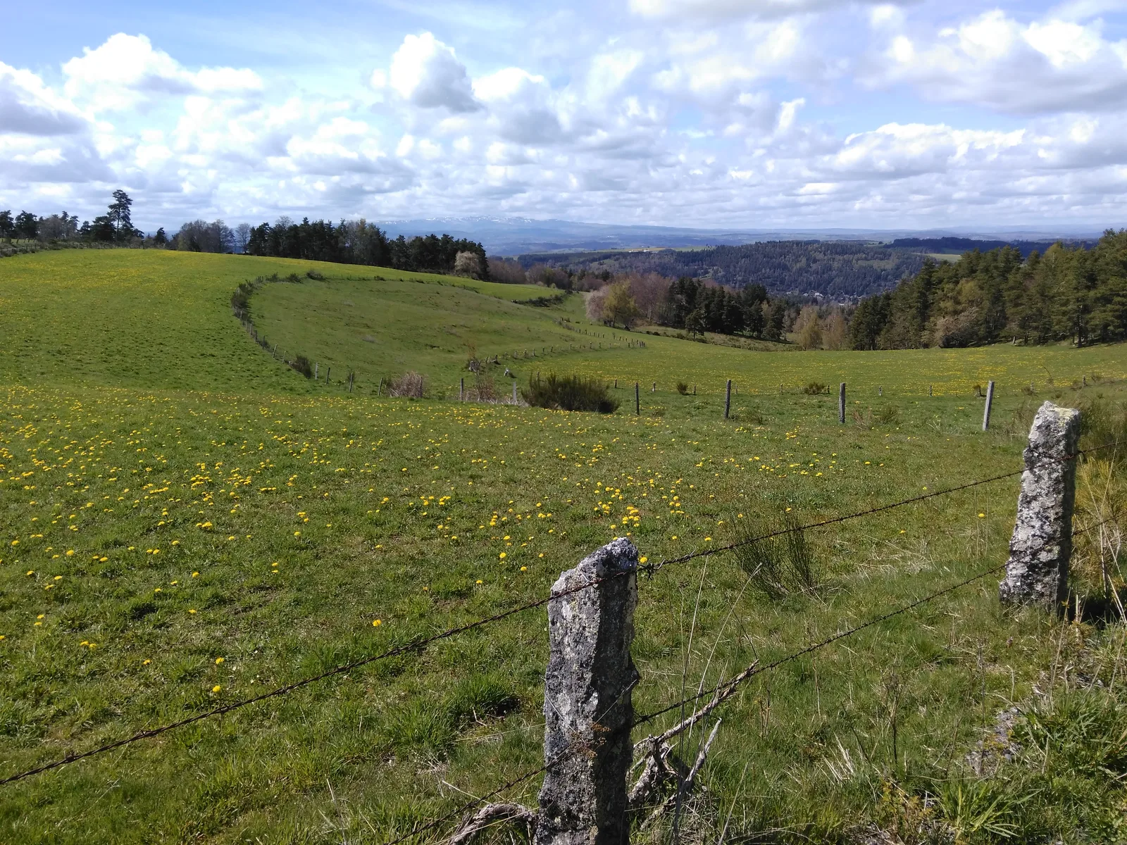
Step 1
Go between the houses and go up a small path to Reyrac. At the entrance to the hamlet turn left and go down to the road to take it for 500m. Pick up on the right on a small path which goes up on the rock of Cheylaret, continue to the houses.
Step 2
Cross the hamlet and take the path that runs along the last agricultural building on the right. Continue to a fork which you will have to take on the left, continue to reach a paved road.
Step 3
Take this road, leaving the paths on either side until you reach a junction with another road, turn left. Continue due north to the D12, cross it and climb the gravel path opposite. Cross a paved road again then descend to Les Escures to reach the D989.
Step 4
Go up to the right then take the first path on the left. Continue to Mazel and cross the Bédaule stream to reach Courbepeyre. Turn left towards Arzenc-d'Apcher then take the second right.
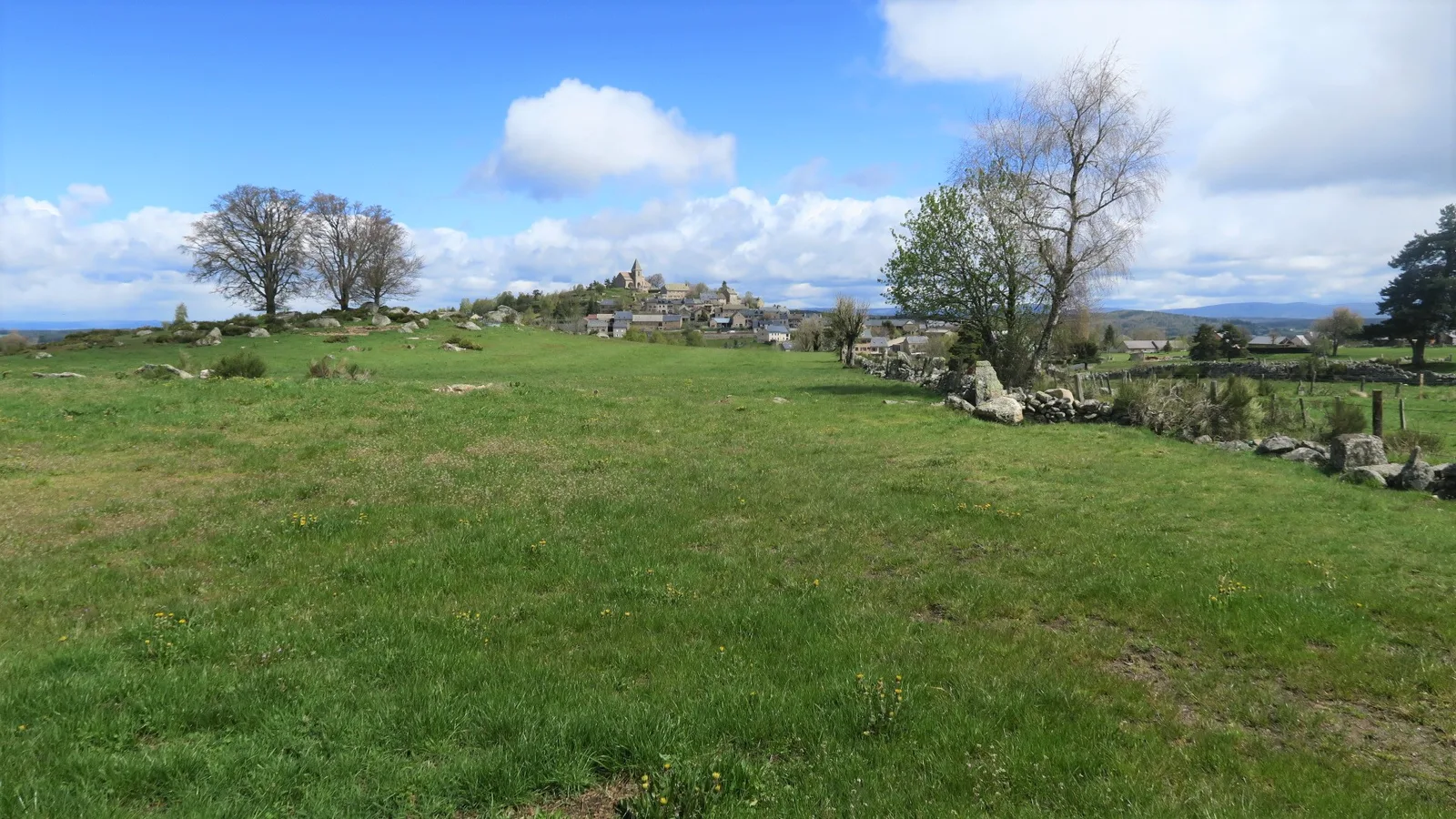
Step 5
Join a tarmac road, cross opposite to continue on the gravel path. Turn right at the fork and go down to the town of Fournels. Cross a bridge to join the main road.
Step 6
Cross the main road to join a farm road which leaves the town going up towards Mont Alhérac. Reach the hamlet of La Pruniérette, cross it and continue on the tarmac road which climbs slightly.
Step 7
At a forest crossing, turn left onto the path which goes down to Termes.
Was this content useful to you?
Thank you
Thank you for taking the time to let us know that this content was helpful to you. Your encouragement is essential to us, and your feedback allows us to improve.
Thank you
Thank you for taking the time to let us know that this content was not helpful to you. We're sorry about that.
Share this content
Share this content
