

Chemin de Billieyrols
A crossing of all natural environments during this easy 10km hike.
Route details
Description
Go down the road which passes in front of the village hall to leave the village until the crossroads with the D 78. Take the road on the left for about twenty meters, then take the first path on the right.
After 500 m, turn off onto a path which goes left and leads to the hamlet of Paulhac.
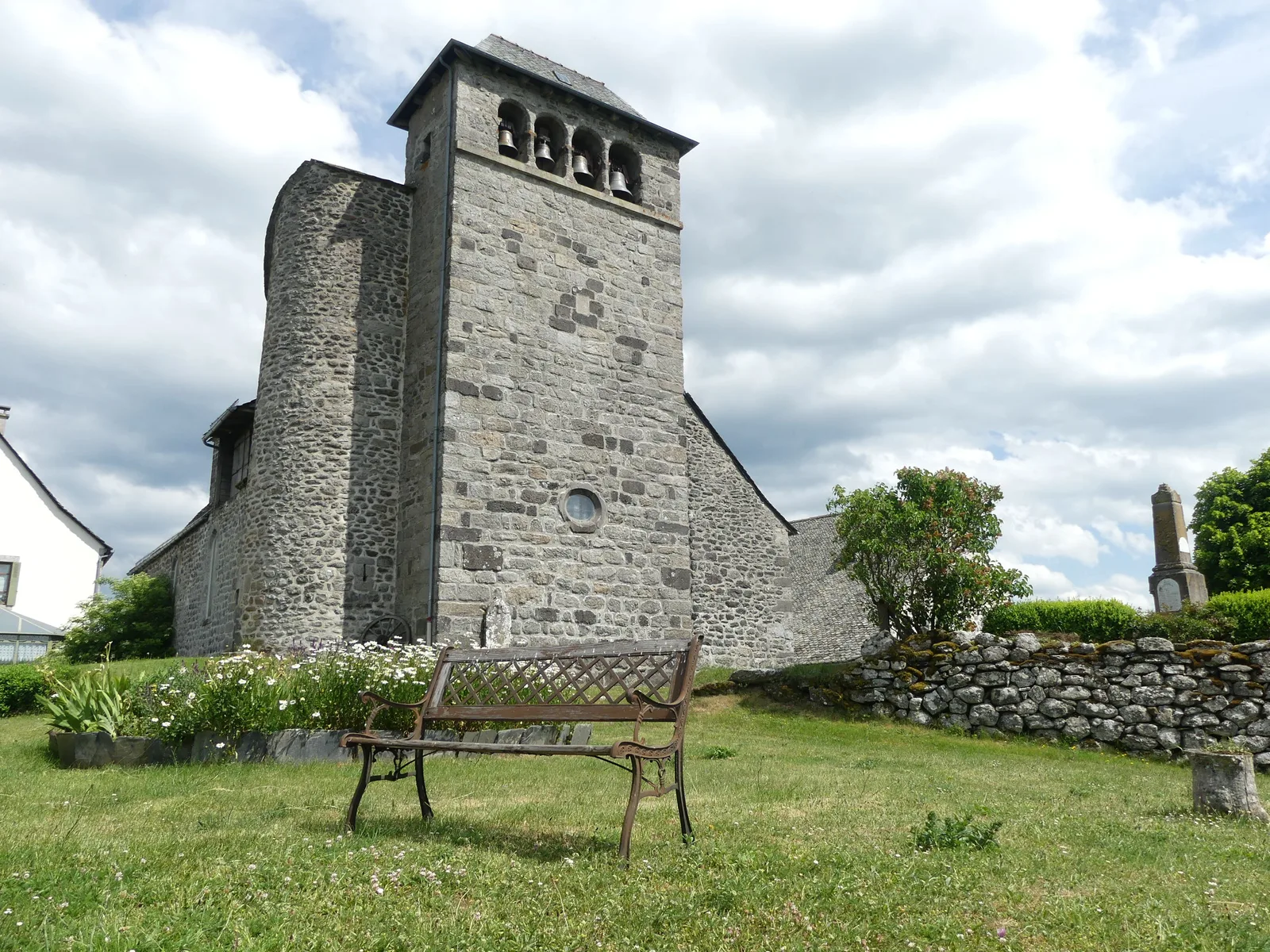
In the village of Paulhac, after the first house, turn right and take the road which goes down to the hamlet of Cayrac. In front of the chapel, turn right and continue the road which goes up to Brenac (by making a small detour to the left, you can see the pretty church of Brenac surrounded by typical houses).
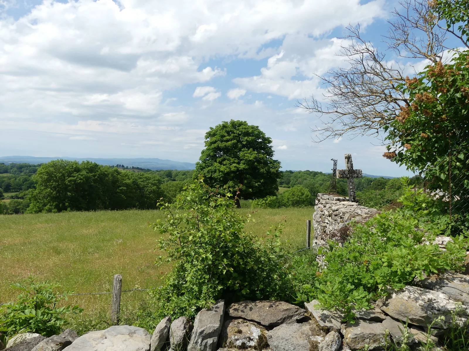
Arriving at the junction with the D 78, take a moment to go see the wash house located under the war memorial, then take the D 78 on the left for a few meters, then immediately, the road on the right which leads to Le Quié. Follow the road to the hamlet of Quié, just after the sign, turn right onto a wide logging road which goes up to “Le Puech du Quié” (halfway, after the climb, do not forget to turn around to admire the sublime panorama of the Cantal mountains), at the fork, take the path on the right and continue until the D 78.
Turn left onto the D78 for around 150 m then take the small road on the left which goes back to Vitrac-en-Viadène (same road as at the start).
After 500 m, turn off onto a path which goes left and leads to the hamlet of Paulhac.
In the village of Paulhac, after the first house, turn right and take the road which goes down to the hamlet of Cayrac. In front of the chapel, turn right and continue the road which goes up to Brenac (by making a small detour to the left, you can see the pretty church of Brenac surrounded by typical houses).
Arriving at the junction with the D 78, take a moment to go see the wash house located under the war memorial, then take the D 78 on the left for a few meters, then immediately, the road on the right which leads to Le Quié. Follow the road to the hamlet of Quié, just after the sign, turn right onto a wide logging road which goes up to “Le Puech du Quié” (halfway, after the climb, do not forget to turn around to admire the sublime panorama of the Cantal mountains), at the fork, take the path on the right and continue until the D 78.
Turn left onto the D78 for around 150 m then take the small road on the left which goes back to Vitrac-en-Viadène (same road as at the start).
