

Vers Montrodat – VTT n°12
FFC Gévaudan MTB site MTB destination – route n°12 red – difficult level
Route details
Description
From the car park located at the entrance to the Vimenet housing estate, return towards the Montrodat road and turn left to go down towards Mazet.
In the bend at the bottom of the descent, take the small path on the right which joins the village of Mazet.
Turn right onto the D999 and, 200m further on, turn right again onto a track to go around the farm.
Return to the D999 and cross the road to take a long track which joins the D999 again 4km further.
Turn right, then left on the D101 towards Rieutort de Randon
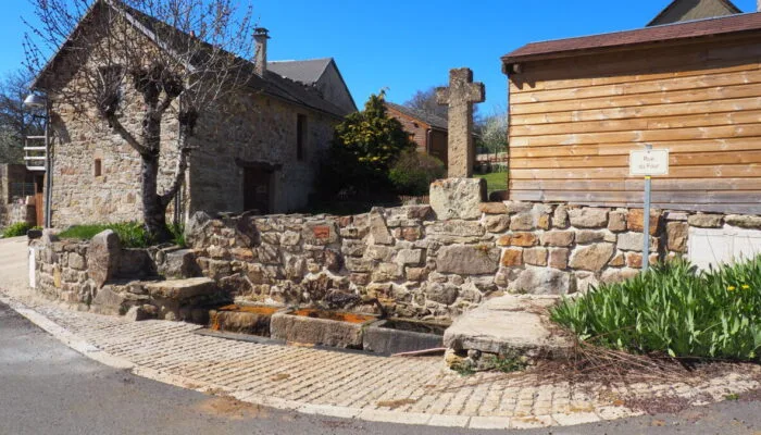
Then continue on the D1 towards Baraque de la Grange / Servières / Rieutort de Randon and 100m further, take a track on the right which runs along a meadow and continues through the woods to a cross located on a small road.
At the intersection, turn right onto the road then, 1,5km further on, turn left towards the Château de Cougoussac.
Leave the castle on the left and continue on the track. At the next crossroads, turn right. At the second, turn left and continue to the village of Villaret.
In the village, take a small path on the right between the houses. Be careful, this small path is very uneven for around 500m. After the small stream, join a wider path and continue to descend until you reach a path intersection.
Turn right and continue the track until you reach a road.
Go down the road and at the next hairpin on the left, take the track on the right which joins the village of Montrodat.
Turn right in front of the multipurpose hall and cross the village via the small central street.
At the bottom of the lane, turn right and join a track which crosses the valley and goes up to the Poujoulet plateau. Continue the main track until the D999 road and turn right towards Le Mazet.
At the cross, take the track which goes down to the right and continue it to the village of Inosse.
Turn left towards Vimenet and reach the car park by road.
In the bend at the bottom of the descent, take the small path on the right which joins the village of Mazet.
Turn right onto the D999 and, 200m further on, turn right again onto a track to go around the farm.
Return to the D999 and cross the road to take a long track which joins the D999 again 4km further.
Turn right, then left on the D101 towards Rieutort de Randon
Then continue on the D1 towards Baraque de la Grange / Servières / Rieutort de Randon and 100m further, take a track on the right which runs along a meadow and continues through the woods to a cross located on a small road.
At the intersection, turn right onto the road then, 1,5km further on, turn left towards the Château de Cougoussac.
Leave the castle on the left and continue on the track. At the next crossroads, turn right. At the second, turn left and continue to the village of Villaret.
In the village, take a small path on the right between the houses. Be careful, this small path is very uneven for around 500m. After the small stream, join a wider path and continue to descend until you reach a path intersection.
Turn right and continue the track until you reach a road.
Go down the road and at the next hairpin on the left, take the track on the right which joins the village of Montrodat.
Turn right in front of the multipurpose hall and cross the village via the small central street.
At the bottom of the lane, turn right and join a track which crosses the valley and goes up to the Poujoulet plateau. Continue the main track until the D999 road and turn right towards Le Mazet.
At the cross, take the track which goes down to the right and continue it to the village of Inosse.
Turn left towards Vimenet and reach the car park by road.
