

Une draille en Aubrac
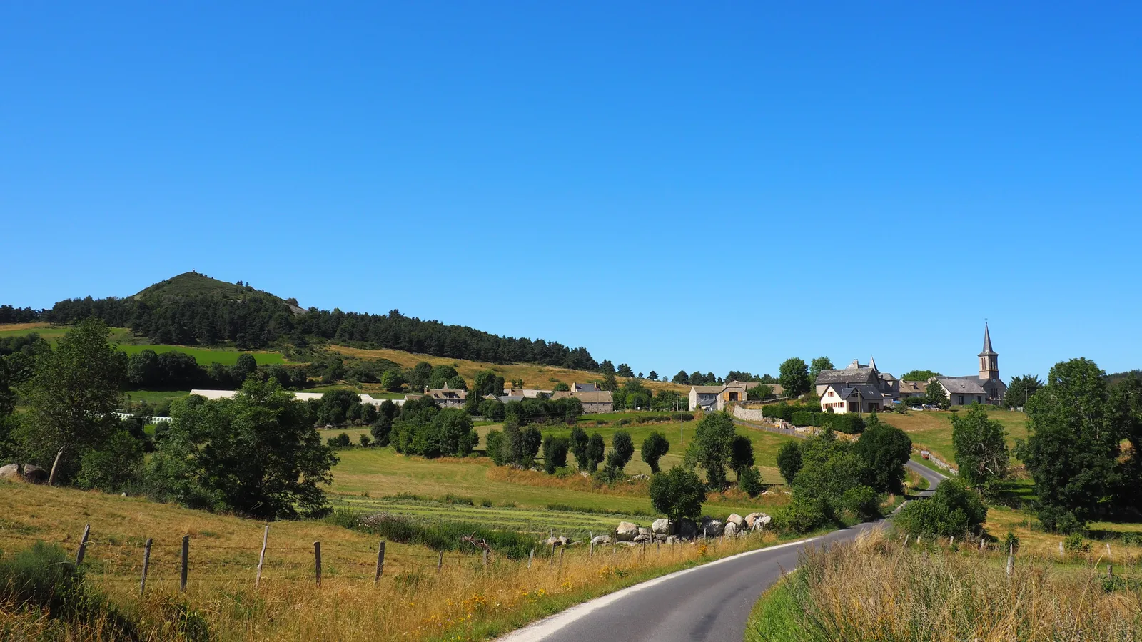
A hike on the beautiful drailles of Aubrac which dominate the territory of Gévaudan
Route details
Description
From the town hall, take the main road which descends (common route with the GR de Pays Tour des Monts d'Aubrac). Go past the cemetery and reach a crossroads at the Baraque de Bonnal; cross the D900 and take the grassy path; It leads to a small road. Cross the Cheyla stream on a bridge.
Take the road on the left that leads to Chantegrenouille. Reach the village square (separation with the GR de Pays Tour des Monts d'Aubrac).
Take a tarmac path on the left which quickly turns into a sandy track; follow it, ignoring the path departures on either side. At a junction of tracks, go right and arrive at a new junction of tracks.
Follow the asphalt track on the left until you reach the D900. Cross it and follow it to the left for a little over 50 m, then take the road to the right which leads to Taupinet for around 100 m.
Turn right onto the sandy path which winds through the Sinières plain. Arrive at an intersection below the village (junction with a variant of the GR de Pays Tour des Monts d'Aubrac).
Go left once, then a second time, on the path which goes up towards Chaldecoste. Ignore the paths on the right. Go down into Chaldecoste and, at the first house, reach a junction (separation with the variant of the GR de Pays Tour des Monts d'Aubrac).
Turn right into the alley and continue on the road to Taupinet
In the hamlet, take the path furthest to the left between two low walls. Arrive at a large crossroads of tracks. Climb to the right to reach a gravel path (junction with the variant of the GR de Pays Tour des Monts d'Aubrac).
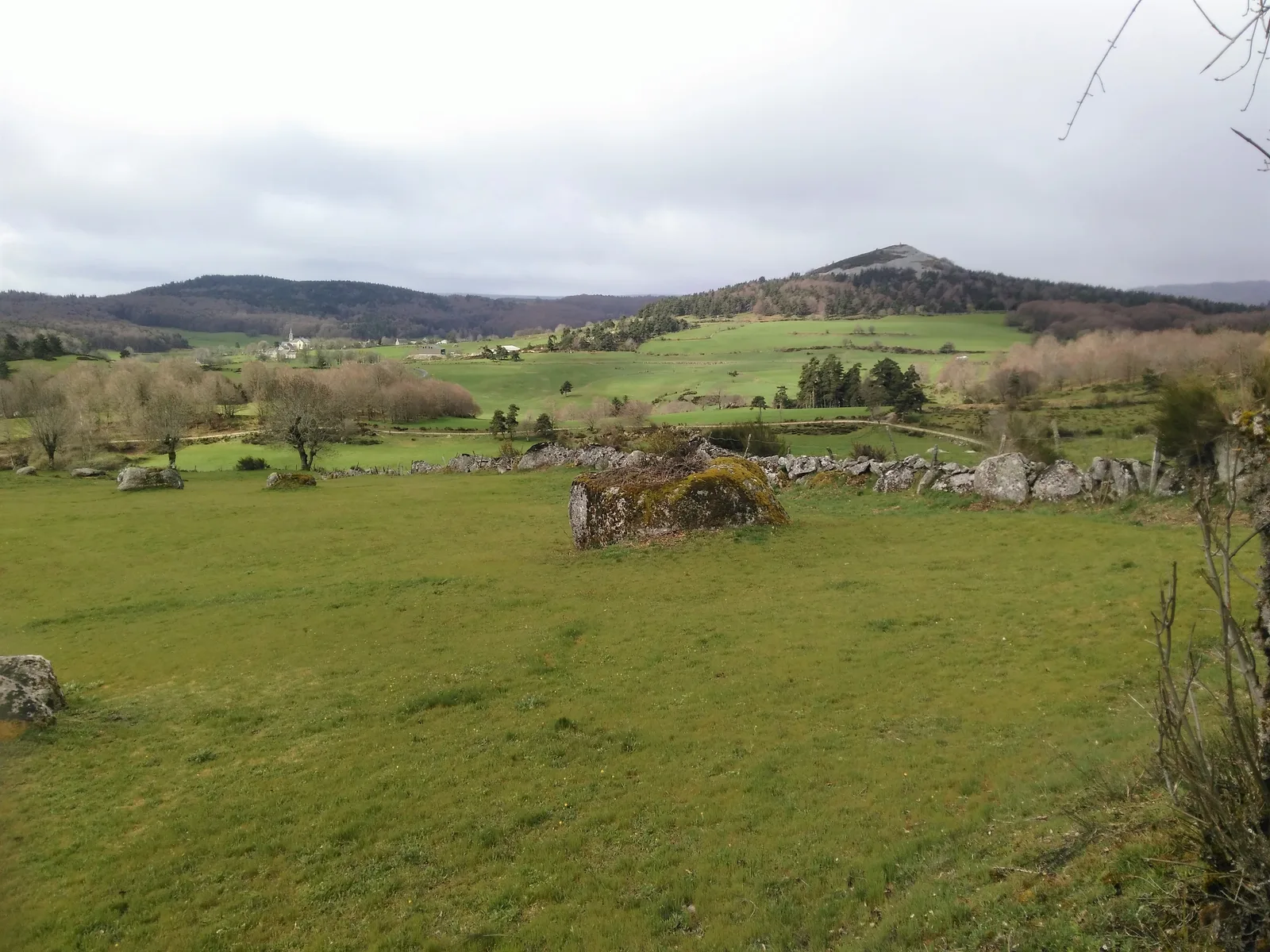
Climb towards the Pic de Mus, leave the track on the right to pass a chicane and continue straight. After several fence passages, take the gravel track to the left to climb to the Pic de Mus or to the right to reach the village of Saint-Laurent-de-Muret
Take the road on the left that leads to Chantegrenouille. Reach the village square (separation with the GR de Pays Tour des Monts d'Aubrac).
Take a tarmac path on the left which quickly turns into a sandy track; follow it, ignoring the path departures on either side. At a junction of tracks, go right and arrive at a new junction of tracks.
Follow the asphalt track on the left until you reach the D900. Cross it and follow it to the left for a little over 50 m, then take the road to the right which leads to Taupinet for around 100 m.
Turn right onto the sandy path which winds through the Sinières plain. Arrive at an intersection below the village (junction with a variant of the GR de Pays Tour des Monts d'Aubrac).
Go left once, then a second time, on the path which goes up towards Chaldecoste. Ignore the paths on the right. Go down into Chaldecoste and, at the first house, reach a junction (separation with the variant of the GR de Pays Tour des Monts d'Aubrac).
Turn right into the alley and continue on the road to Taupinet
In the hamlet, take the path furthest to the left between two low walls. Arrive at a large crossroads of tracks. Climb to the right to reach a gravel path (junction with the variant of the GR de Pays Tour des Monts d'Aubrac).
Climb towards the Pic de Mus, leave the track on the right to pass a chicane and continue straight. After several fence passages, take the gravel track to the left to climb to the Pic de Mus or to the right to reach the village of Saint-Laurent-de-Muret
