

Mallet
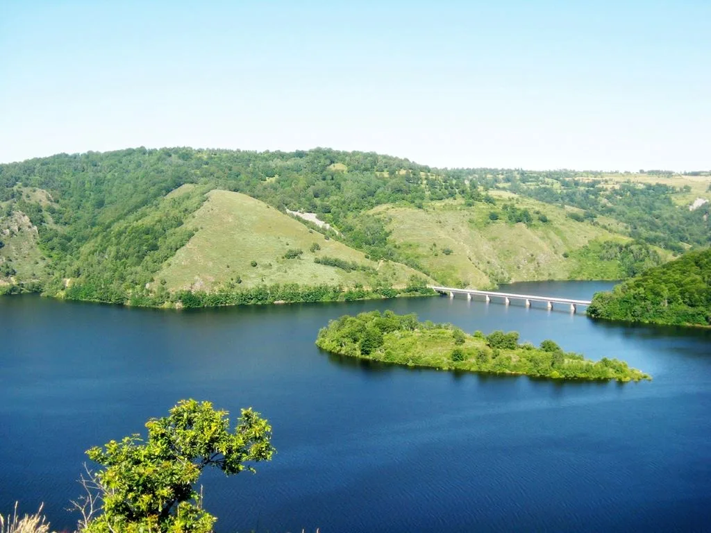
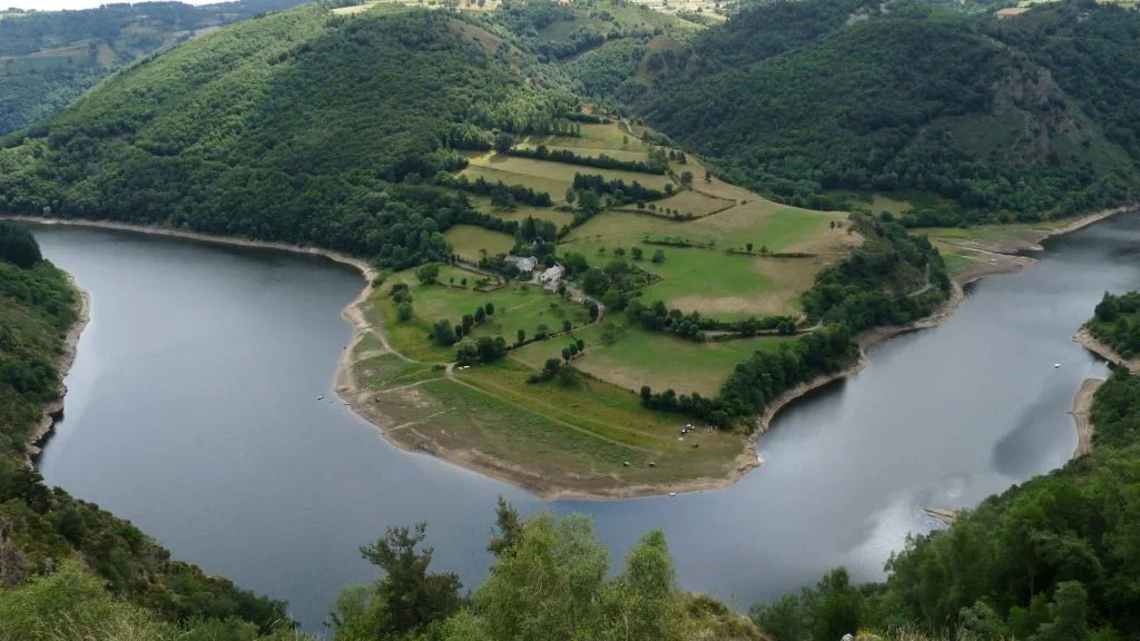
This difficult circuit leads to the beach of Mallet and the lake of the Barrage de Grandval
Route details
Description
From the village square, head towards Garabit, cross the RD13 and take the road opposite.
At the crossroads, take the road opposite, pass in front of the Calvary, then turn left, continue straight at the fork. At the next crossroads take the road which turns into a gravel path on the left after 350m.
Cross the RD13 to take an old road which goes down towards the banks of the dam, go back up to the road and follow it to the Mallet bridge.
Take the path to the right before the bridge that climbs through the woods to reach La Bessaire. After the farm take the paved road, at the crossroads, turn right towards Puech.
turn left to go down towards the old Magnac mine, cross the river (on the right, old mines: access prohibited) and continue the path which runs alongside the dam.
(arranged tables, rest area, off-circuit on the left 250 meters from the old cemetery and village of Magnac). Continue straight ahead on the path which goes up towards Pouget (before the village, very beautiful view of LAVAL and the Bès water supply).
In the village, take the road to the right.
At the crossroads, take the RD 13 for 750 meters
(possibility of continuing on the RD13 to Fridefont for a shorter return) Take the path on the left to reach the woods and continue straight on.
At the crossroads, turn right, path in the beeches which returns to Fridefont.
