

Les Monts d'Aubrac – VTT n°10
A long trip on the foothills of the Aubrac with its steep terrain, taking the GR® de Pays du Tour des Monts d'Aubrac for a few kilometers. VTT site FFC Gévaudan Destination – route n°10 black – very difficult level
Route details
Description
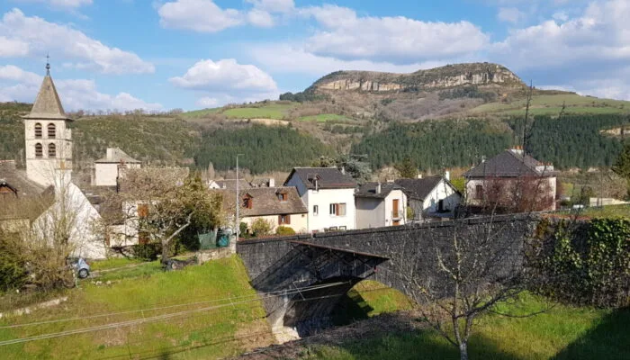
From the parking lot of the sports complex, go up on the D809 and turn left in the direction of Chirac.
Start to cross the village then turn right towards Fabrèges / Altayrac. Pass under the railway line and continue straight ahead. Leave a road which goes up to the right towards fabrèges / Altayrac and continue straight towards Les Violles.
Shortly after passing under the A75 viaduct, take a rising track on the right. The slope is steep for a short while and then softens. At the crow's feet, take the track on the right and reach the village of Fabrèges. Cross the village and continue on a small road towards Altayrac. In the village, take a road on the left which then turns into a track and climbs steeply.
Turn a little further to the right on a concrete track with a high percentage and continue to climb, staying on this main track.
At the crow's feet, turn right and continue on this track until the lookout point on the Biourière. (Be careful of the water level which can be high following precipitation)
After the lookout point, turn right and continue to the village of Pratbinals. Turn left in the village and continue on a new track which joins the village of Mas.
At the entrance to the village of Le Mas, turn right to join a small road and turn right again on this road to continue to the Baraque du Plo
Turn right on the D900 and about 1km further, turn left towards Monnet. A little further on, a wide track goes off to the right. Take it to the hamlet of La Roche
After La Roche, turn left on the road and continue towards Le Buisson for around 2km then turn left onto a wide, rising track.
Cross a road and continue to climb the track to reach the small village of Chantegrenouille. (from this point, the route is common with the GR® de Pays Tour des Monts d'Aubrac).
In the village of Chantegrenouille, turn left on the road, go down to the Cheyla bridge, take the track opposite which goes up to the D900 at the Baraque de Bonnal and head towards St Laurent de Muret.
Bypass the village to the left and facing the cross, turn left towards Le Crouzet.
200m further on, turn left on a track that starts in the middle of the meadows.
Follow the GR across the Aubrac plateau and, 3km after the village of La Blatte, turn left at the intersection of the GR 60 and 670. Take a wide track through the forest and continue straight on.
2km further on, at “the Wolf’s Cross”, turn left onto a track then, 100m further on, take a small path on the right.
After a nice descent, at the crossroads of a road and 2 tracks, take the track on the left (GR670).
After crossing the A75 on a small bridge, leave the GR670 which goes down into the village and continue left on the small road to reach houses on the heights of Chirac. Go down into the village, respecting the highway code, to reach the railway bridge. Turn right and continue until the D809. Turn left and continue until the junction for the Chirac sports complex.
