

Les Mazes
An accessible circuit for a short walk in the forest in the town of Lieutadès
Route details
Description
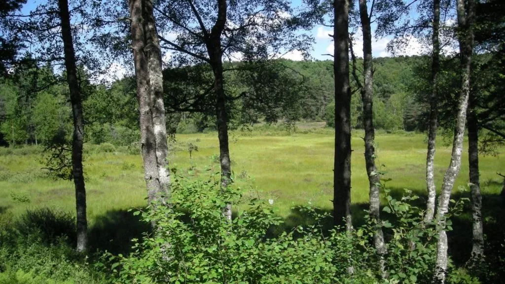
From the car park, take the path that goes to the left and goes up in the beech forest, follow it for 2 kilometers (boundary between the departments of Cantal and that of Aveyron).
At the exit of the woods, take the path on the right and follow it to the village of Burguerettes.
(Off the circuit: at the crossroads, turn left and follow the tarmac path to cross the village; beautiful stone farms and slate roofs, beautiful view of the Cantal mountains), At the crossroads turn right onto the tarmac road on two kilometers to the village of Mazes (on the road, the so-called soldier's cross).
At the crossroads, turn right towards the village then before the big farm, turn right on the path that through the forest brings us back to the start.
