

Les Hourcières
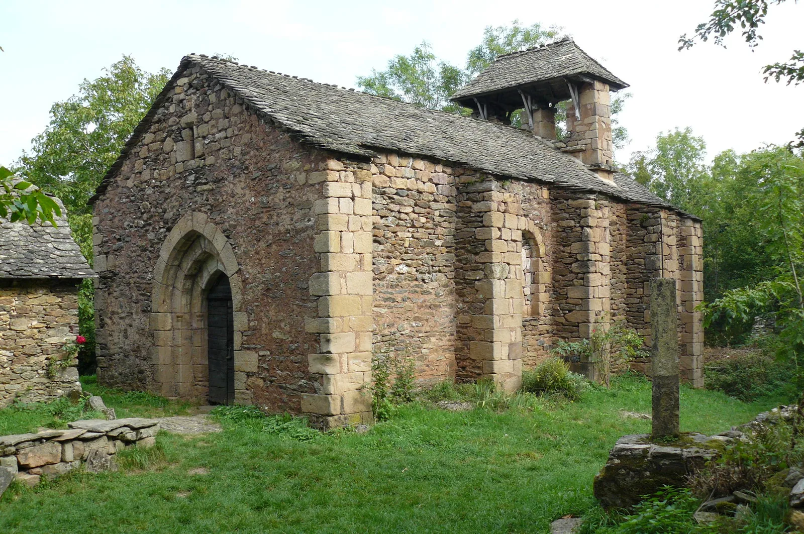
Departing from Verlac, a typical mountain village to discover the village and the chapel of Aurelle. It can only be reached on foot!
Route details
Description
On the Place de Verlac, follow signs, Aurelle, to Verlaguet.
Then to the west for 1750 m Aurelle beacon. For about a hundred meters you cross a meadow.
New Aurelle marker, then 600 meters downhill to a tarmac cross path.
Turn left for about a hundred meters. Take a path on the right descending 1200 m to Aurelle.
In Aurelle, follow the tags. After 270 m, take the path which goes left, for 770 m, to reach the Rioudis ford. Cross the stream, then go up for 1,3km. At the fork, turn right. On this draille, splendid panoramas will be offered to you.
After 2 km you arrive at Vieurals. Follow the D503 for 600m, then take the path to the left. Continue the draille for 300m. Then take the path to the right for 300m, before joining a new draille. Turn right. Then 50 m, turn left, and continue for 1,4 km to join the D95.
Cross the road and take the path opposite. Continue on 400, to join the D503. Turn left and head south.
After 400m, turn right to join the path and take the direction of Verlaguet, located 2,5km away. In the hamlet, turn left to reach Verlac.
