

Les Hauts du Monastier
A hike in the footsteps of Urbain V
Route details
Description
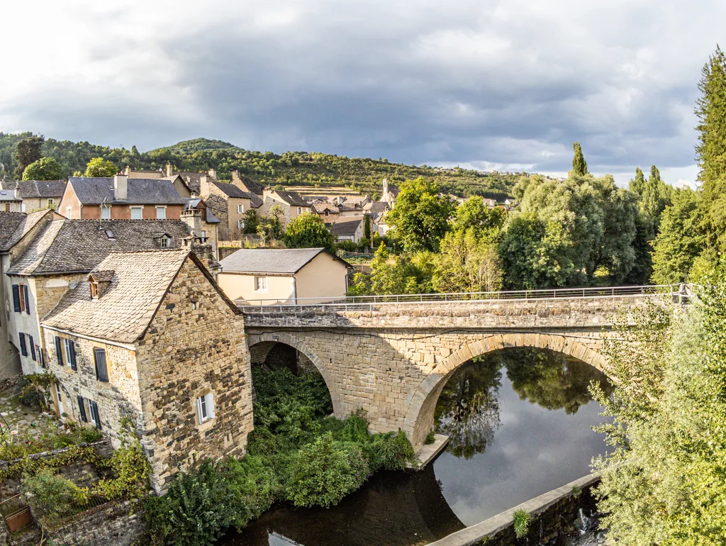
From the bus stop, near the church, go down the Roman Way (common section with the GR 670, Chemin Urbain V, marked white and red). At the place de l'Orme, continue straight ahead in the narrow street. Reach Placette and turn left into rue Basse-Colagne. Reach the junction with rue du Pont (separation with the GR 670).
Continue on rue Basse-Colagne. About 50 m further, leave a street on the left and continue in the one that turns right, finds the Roman Way, runs along the railway line and leads to the D809 (junction with the GR 670).
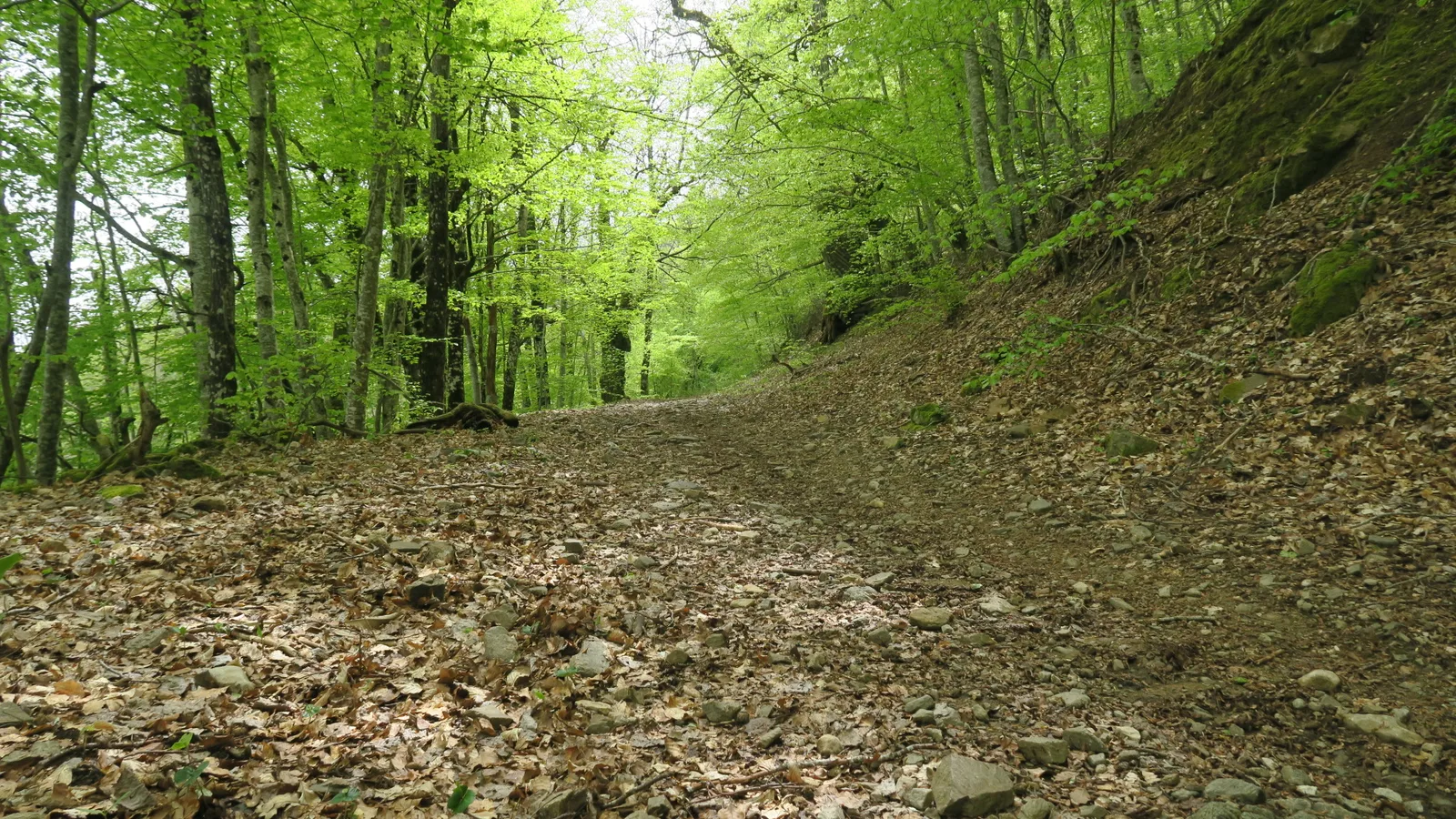
Turn left above the railway line, then turn right into the rising rue des Faïsses, for around a hundred meters. Continue left, taking the gravel path. It climbs through forest cover and through fields to the A75 motorway; cross it on a bridge. Further on, reach a junction (separation with the GR670).
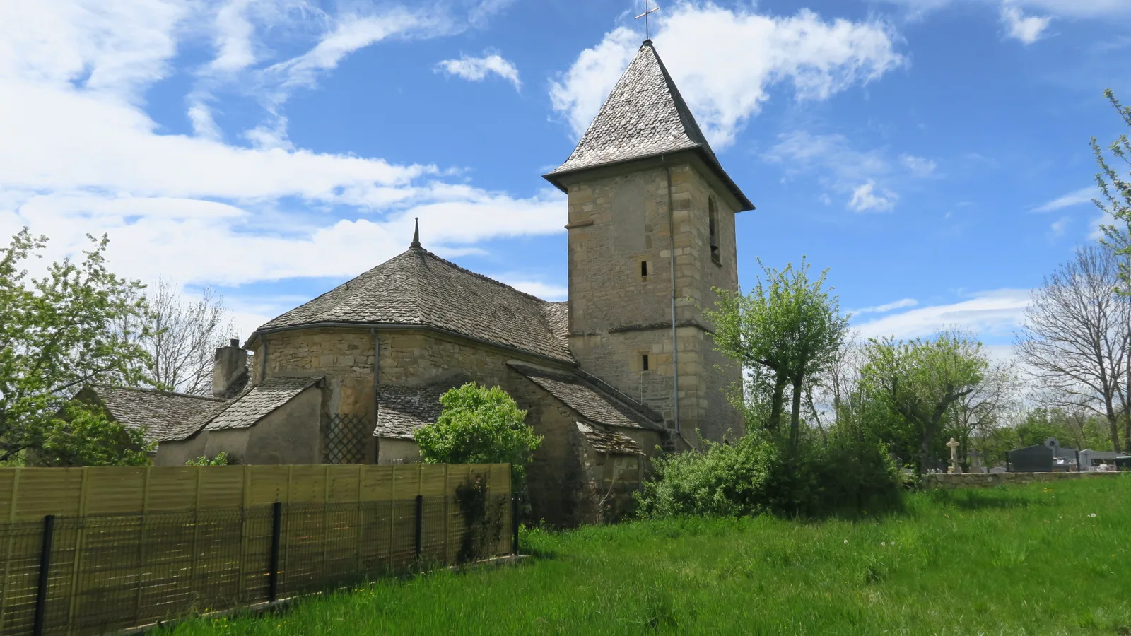
Continue straight then left following the signs “Le Bruel”. Reach the hamlet; cross it. Cut the D56 to follow the direction of “Pin”.
Turn right onto an undergrowth path which leads onto a road; go left.
Turn right onto the small road and reach the hamlet of Pin. Continue on the road. At the next fork, continue opposite until you reach the start of the path on the right.
Take this path and continue the ascent of Hauts, crossing the hamlets of Ségala, then Monteil. In view of the D56, continue along a path lined with trees. It leads to the departmental road; cross it.
Continue on the uphill road, towards Borio del Biaou” (junction with the GR 670)
Take the path on the right which goes down towards Monastier. Turn left and pass over the motorway, as on the way out. Go back down Chemin des Faïsses and find the D809 which you take on the left. Continue to the church, starting point of the hike.
Continue on rue Basse-Colagne. About 50 m further, leave a street on the left and continue in the one that turns right, finds the Roman Way, runs along the railway line and leads to the D809 (junction with the GR 670).
Turn left above the railway line, then turn right into the rising rue des Faïsses, for around a hundred meters. Continue left, taking the gravel path. It climbs through forest cover and through fields to the A75 motorway; cross it on a bridge. Further on, reach a junction (separation with the GR670).
Continue straight then left following the signs “Le Bruel”. Reach the hamlet; cross it. Cut the D56 to follow the direction of “Pin”.
Turn right onto an undergrowth path which leads onto a road; go left.
Turn right onto the small road and reach the hamlet of Pin. Continue on the road. At the next fork, continue opposite until you reach the start of the path on the right.
Take this path and continue the ascent of Hauts, crossing the hamlets of Ségala, then Monteil. In view of the D56, continue along a path lined with trees. It leads to the departmental road; cross it.
Continue on the uphill road, towards Borio del Biaou” (junction with the GR 670)
Take the path on the right which goes down towards Monastier. Turn left and pass over the motorway, as on the way out. Go back down Chemin des Faïsses and find the D809 which you take on the left. Continue to the church, starting point of the hike.
