

Les Bécasses
A rather difficult circuit to discover the surroundings of the Aubrac plateau
Route details
Description
Departure from Chaudes-Aigues at the Enclos car park, next to the gymnasium. Go up towards the Church, take the small street which goes down on the left, and at the crossroads take the uphill street on the right. Continue straight on towards the Cité Saint-Michel then turn right on the small path that goes up, follow it to the departmental road n°11. Take the road to the right for 200 meters then in the bend the path to the left which goes up towards the road.
At the Hert crossroads, take the path to the left as far as Fridières. Arriving at the farm, turn left then right along the road to the Mourentès cross.
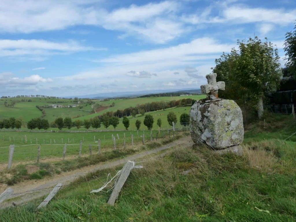
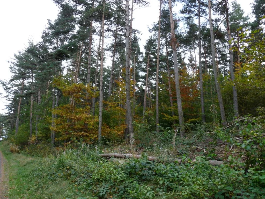
At the cross, take the path opposite which crosses the meadows then a part of the woods before arriving at the Croix de Védrines. At the road turn left. At the entrance to the wood, take the path opposite, up to departmental road n°921. Cross the crossroads and take the path on the left along the road, up to the crossroads of the route des Deux-Verges, take on the right, departmental road n°513 at a place called “Les Bécasses”.
Leave the road to take the path on the left, continue to the village of Lescure. In Lescure, take the municipal road to the left as far as the departmental road, then turn left and go up towards the Château du Couffour.
Arriving under the castle, turn left under the farmhouse, then right past the reception building of the campsite and down into the forest (viewpoint over Chaudes-Aigues) to the rest area. Take the small road opposite which passes behind the gendarmerie, continue to the Cité Saint-Michel, follow the street to the end, and turn right down the road taken on the outward journey to the car park of the enclosed.
At the Hert crossroads, take the path to the left as far as Fridières. Arriving at the farm, turn left then right along the road to the Mourentès cross.
At the cross, take the path opposite which crosses the meadows then a part of the woods before arriving at the Croix de Védrines. At the road turn left. At the entrance to the wood, take the path opposite, up to departmental road n°921. Cross the crossroads and take the path on the left along the road, up to the crossroads of the route des Deux-Verges, take on the right, departmental road n°513 at a place called “Les Bécasses”.
Leave the road to take the path on the left, continue to the village of Lescure. In Lescure, take the municipal road to the left as far as the departmental road, then turn left and go up towards the Château du Couffour.
Arriving under the castle, turn left under the farmhouse, then right past the reception building of the campsite and down into the forest (viewpoint over Chaudes-Aigues) to the rest area. Take the small road opposite which passes behind the gendarmerie, continue to the Cité Saint-Michel, follow the street to the end, and turn right down the road taken on the outward journey to the car park of the enclosed.
