

Le Vallon du Rouchat – Parcours n°6
It is a pleasant path which evolves partly in undergrowth. With no big difference in altitude and on small village roads, this hike will satisfy all families.
Route details
Description
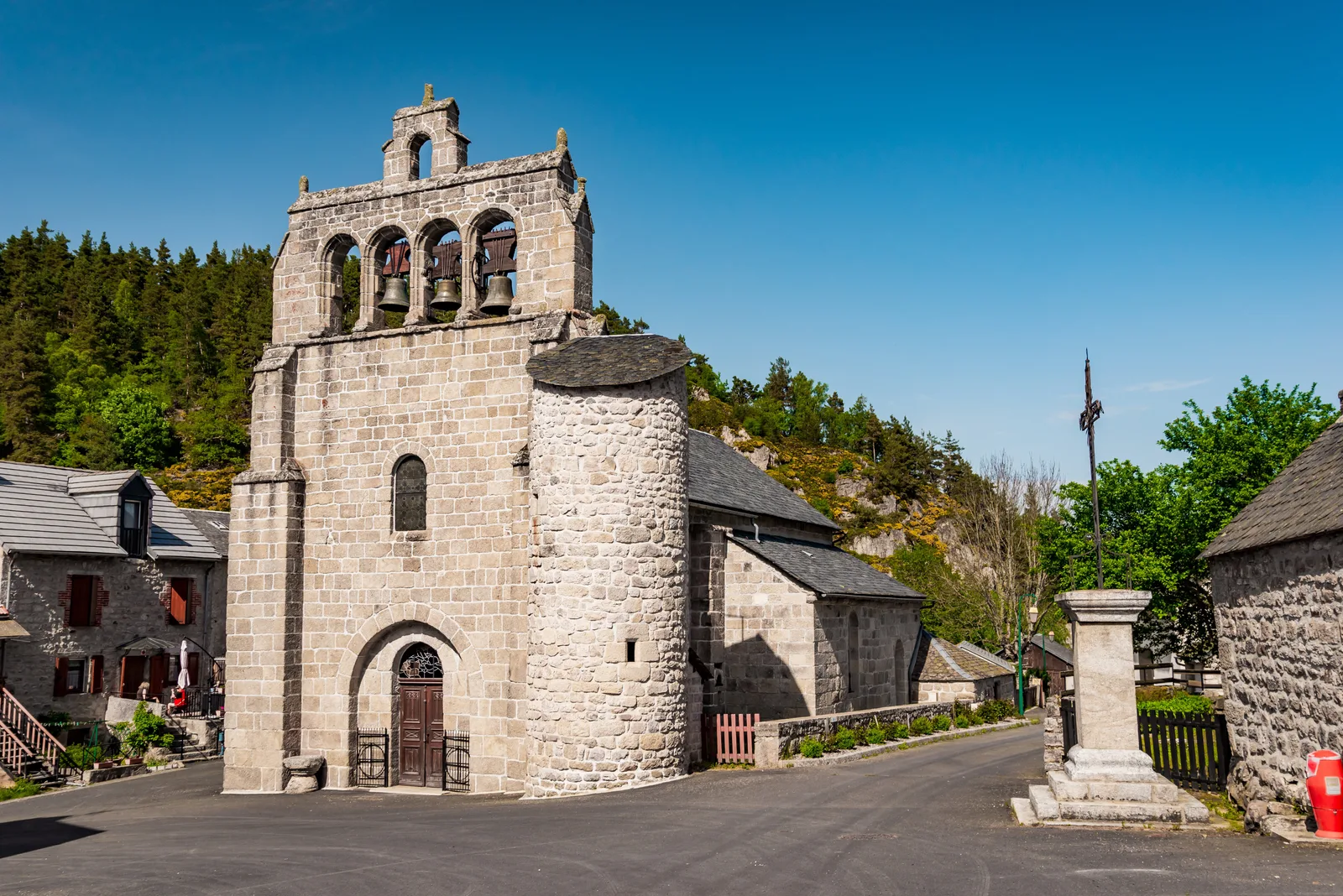
From the church with its bell tower and round tower, head towards the bridge, cross it and follow the road on the left which goes up the Rimeize river for 1 km. Be careful the road is narrow. At the crossroads, go up towards the hamlet of Crouzet. Cross it.
At the bottom of the descent, go up a small road on the right towards an agricultural building. Reach the village of Mazeirac.
After crossing the housing estate at the entrance to the village, at the crossroads in the hamlet, turn right and continue opposite then right on the road. Beautiful restored building. At the 1872 cross, turn right then take the main road on the left to leave the village. Follow it to Rouchat, view of Margeride, then Aumont-Aubrac and the Pic de Mus.
In the hamlet, take the first street on the right and via bends, go down towards the river, Rimeize. Cross a bridge, view of the railway viaduct, and continue left for 200m. Be careful, the road is narrow. At the top of the climb, continue straight on the road downhill.
In front of a building and a stone cross, turn right onto a path. View of the granite chaos and the Rouchat bridge 100m away. At the fork, stay left (private property signposted on the right). Go up a track on the left. On the hill, ignore a first path on the left. Continue straight ahead until you reach a junction of tarmac roads.
At the first road crossing, continue opposite. At the second, turn left for 200m. View of the crests of the Margeride with its summit, the Truc de Fortunio, on the right, recognizable by its aerial.
At the next intersection, go down a path on the left. Continue straight ahead, ignoring the paths on the right and left, until you reach the road.
At the road, reach the village center and the arrival point.
