

Le Vallon de Sarroul – Parcours n°3
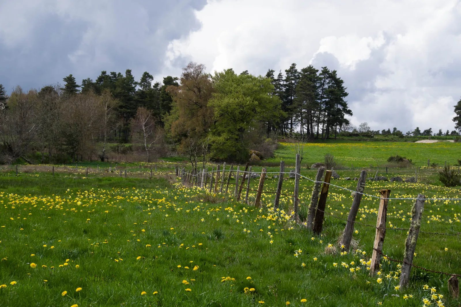
Discover the bucolic surroundings of St-Chély-d'Apcher through this easy and pleasant hike along wide paths.
Route details
Description
Leave the car park, opposite the Lycée Théophile Roussel, turn left along the municipal swimming pool. At the end of the street, turn left again towards the roundabout. Cross Boulevard Guérin d'Apcher with caution and continue straight ahead. Pass under the railway bridge and go up rue de Chambareilles on the left. At the top of the hill, turn right onto Chemin du Bosquet. Continue straight ahead until the four-way junction.
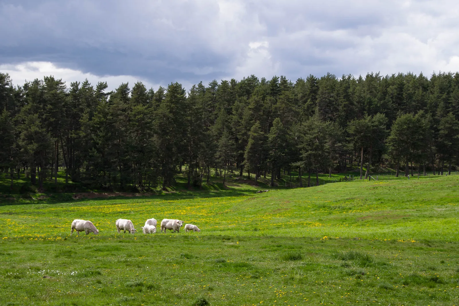
At the crossroads, turn right, view on the left of Mont Alhérac and the bell tower of the Termes church. After 100m, turn right (picnic area) into the undergrowth. Continue straight until you reach a road.
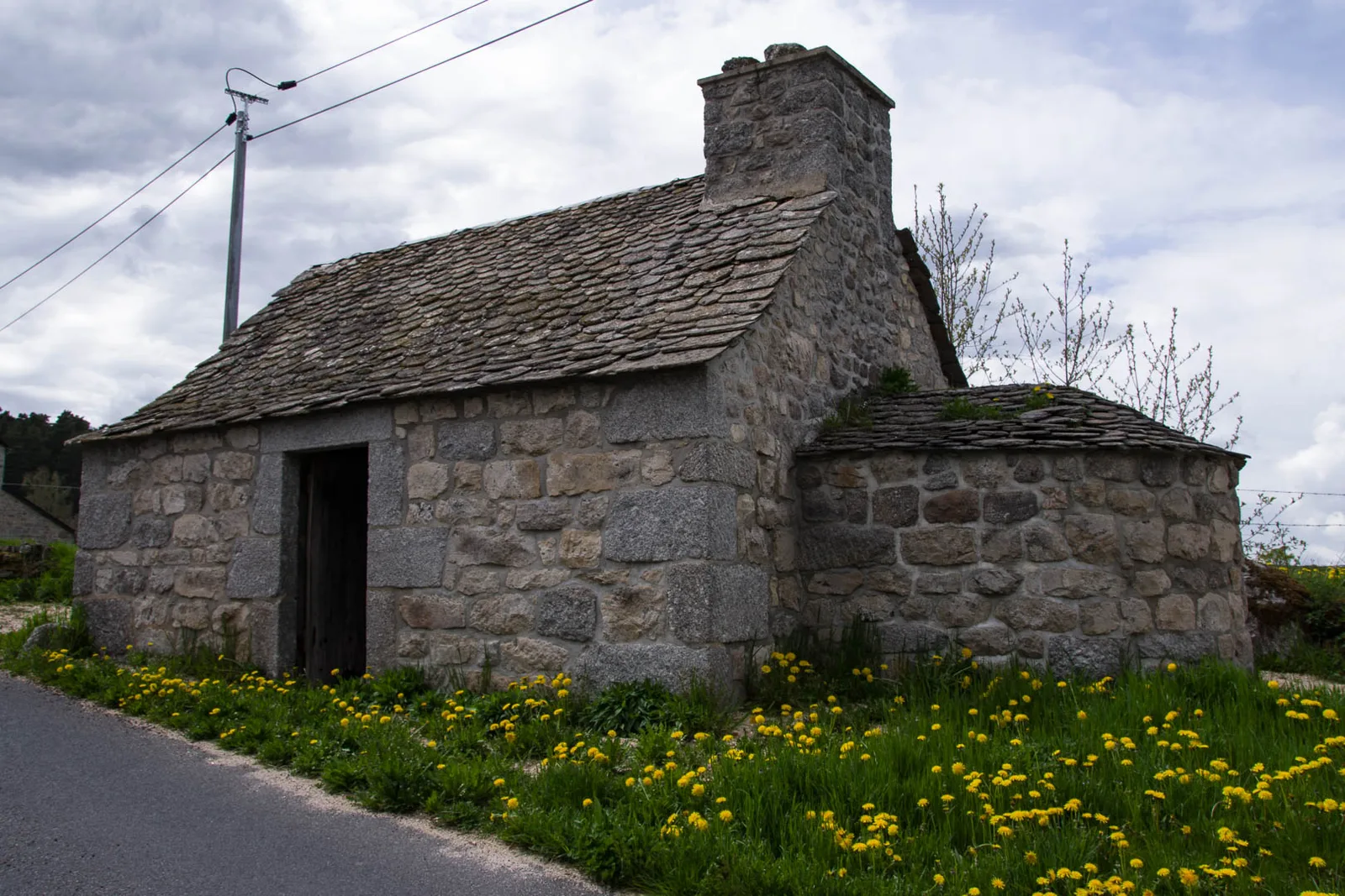
Turn right and reach Sarroul. In front of the drinking fountain and the cross, turn left. Turn onto the second street on the right (bread oven, shoeing loom).
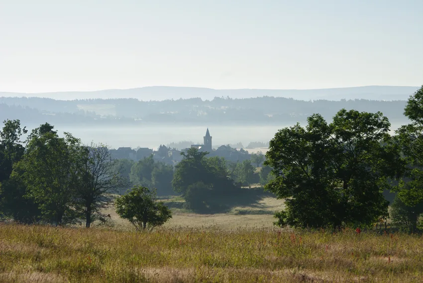
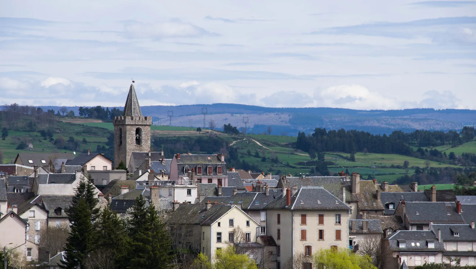
At the stop sign, cut the road and continue towards Herbouze, view of St Chély and Margeride. Go down, cross a stream and continue opposite on a path, then turn right before the railway line. Continue straight on for approximately 1.5km, following the railway line until you reach the road.
Turn left and follow the D64 passing under the railway line. Continue straight until you reach Boulevard Guérin d'Apcher. Cut it and extend opposite. In front of the gendarmerie, turn right and take Rue du Docteur Yves Dalle. At the stop sign, cross and turn left down Rue de la Montagne. Return to the starting point, then turning left.
At the crossroads, turn right, view on the left of Mont Alhérac and the bell tower of the Termes church. After 100m, turn right (picnic area) into the undergrowth. Continue straight until you reach a road.
Turn right and reach Sarroul. In front of the drinking fountain and the cross, turn left. Turn onto the second street on the right (bread oven, shoeing loom).
At the stop sign, cut the road and continue towards Herbouze, view of St Chély and Margeride. Go down, cross a stream and continue opposite on a path, then turn right before the railway line. Continue straight on for approximately 1.5km, following the railway line until you reach the road.
Turn left and follow the D64 passing under the railway line. Continue straight until you reach Boulevard Guérin d'Apcher. Cut it and extend opposite. In front of the gendarmerie, turn right and take Rue du Docteur Yves Dalle. At the stop sign, cross and turn left down Rue de la Montagne. Return to the starting point, then turning left.
