

Le tour du Pied d'Escure – VTT n°2
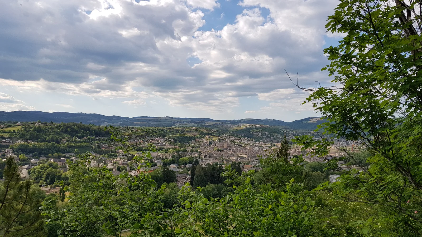
A rather physical circuit in places but which will reward the efforts made by fun and technical sections but also by beautiful views of the surrounding area. FFC Gévaudan Destination MTB site – route n°2 red – difficult level
Route details
Description
Take the footbridge towards the esplanade de Marvejols then go north to the multipurpose room. Take left on Avenue du Cheyla until the roundabout and turn right on Avenue des Martyrs de la Résistance then left on Avenue de Pineton. Then turn right on avenue du 19 mars 1962 up to the "Grenier" district, cross a bridge then the hamlet and turn left on the tarmac path which begins to climb.
Continue the ascent on a track which will take you to the Poujoulet plateau. Once on the plateau, take the small path on the left at the intersection to arrive on a small road where you will have to turn left towards Valadou. Cross the village and continue on the small road towards Molières (nice views of Marvejols). At Molières, the road becomes a path then the path becomes single-track and goes down to the village of St Léger de Peyre, on the banks of the Colagne. Pass under the bridge and go right towards the houses then left towards a small alley which goes up steeply.
At the top, continue straight on a vehicle track. The presence of large stones will make progress a little complicated but it will then improve. Leave a path on the right and join a wide track. follow it to the left. On the descent, leave a bridge on the left and stay the course. At the road, go up to the right and do the same after 100m. Go up for approximately 1,5km to the D999.
Go left then, 200m later, turn right and follow a road suitable for vehicles. Always continue straight between fields and pastures and find yourself at a crossroads. Go left and let yourself slide quietly, for a little less than 1km, and spot a tarmac path which goes to the right, at the entrance to the hamlet of Inosse.
Follow this path in the middle of the woods and come out on the D999 at the Siffleur cross.
Stay on the main road for 700m then take the track which goes off to the right.
At the crow's feet, further on, continue on the right and follow stone walls. Start the descent to Marvejols via a small, very steep tarmac road (be careful of the barrier to go around) then take the first path on the right.
Join the fitness trail and go down a wide track to the edge of Colagne. Leave the footbridge on the right and continue straight on until you reach the Peyre bridge. Turn left then 100m further, right towards the Mascoussel sports complex
