

Le sentier des Chazelles
A picturesque hike on the heights of Montrodat
Route details
Description
Facing the village hall, turn right, follow the main street. Gain the place of the church; cross it. Continue straight down the street which descends between the houses.
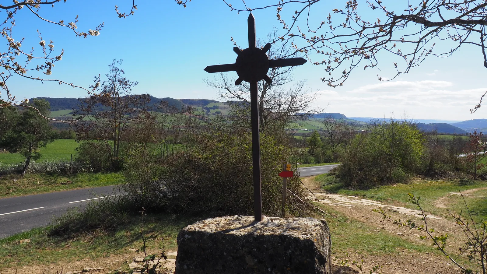
In front of a stone cross, turn right. Go down about 100 m and turn right again. After the last house, the street turns into a path. Take the steep descent to the Devèze stream. Cross it by taking the footbridge and go up opposite, ignoring the paths on the left. After hairpin bends, come out on a small road; follow it to the right. Walk along a fenced property.
Turn left onto a stony path then turn right onto the grassy path which narrows into a path and climbs slightly. Enter a small field, follow it to the right until you reach the D999; cross it. Take the path opposite which leads to a wide track. Go left for approximately 200 m.
Leave the track for a path, on the right, between the fields. In the extension, take a track which turns right and leads to a small road; follow it to the right for a few meters.
Turn left onto a path which leads to an agricultural building. Continue on a path which leads to the Siffleur cross. Cross the D999 to take a wide path opposite which goes down to the Devèze stream; crosses it on a bridge, then climbs on the opposite slope. Arrive at the first houses of Inosse, go down into the hamlet until you reach a road. Take a narrow sidewalk on the right to reach rue du Four, 30 m further down.
Follow her to the end. Enter the alley between two houses. Go down to the right into the stones. The path runs between ancient walls in a pine wood. At the first house in a subdivision, find the tar. Go straight down until you reach a road. Cross it and, opposite, slightly to the left, pass a mound and take a shaded path which goes down to the road at the entrance to Montrodat; follow it to the left for 600 m. At the school, cross to reach the starting point.
