

Le Mazelet – VTT n°1
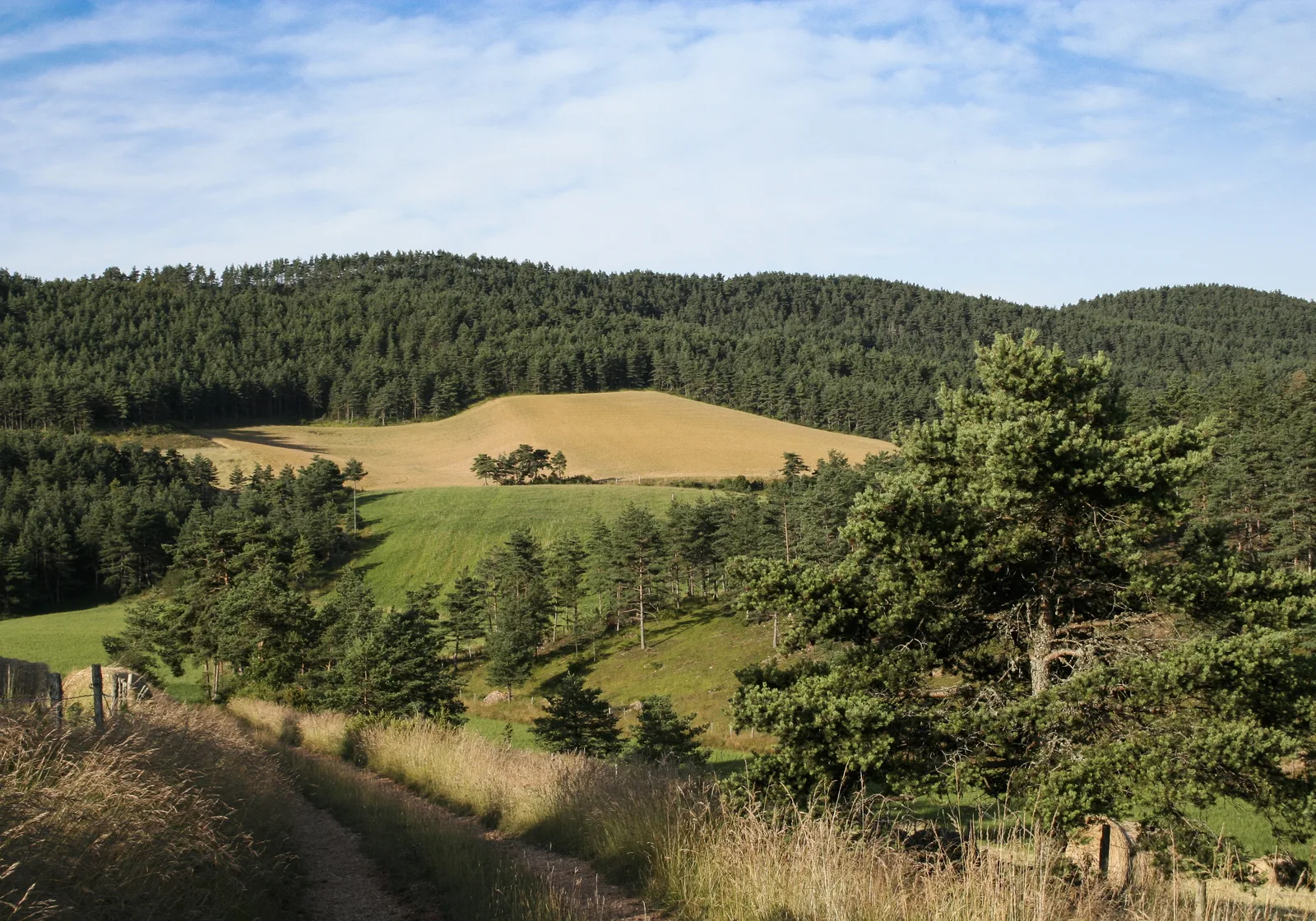
Long mountain bike loop to discover the Causse Sauveterre. Mountain bike circuit N°1 (red markings)
Route details
Description
From the car park, join the road passing in front of the houses, immediately take the path to the right for about 300 m, take the path to the left for 200 m then the path to the left to join the D46. Go along the road and take the path on the left before the cemetery. Follow the path to Bonipeau then Lavagne.
Cross the D32 to continue opposite. Cross a meadow for about 700 meters and leave the track to turn right towards Les Monziols. About 100 meters after the abandoned farm of Longuelouve, take the path on the left which goes up through the woods then continue up to the road to Monziols.
Continue to Marqueyrès, climb into the village then continue along the main track. Turn left on the track that intersects the loop, and continue towards Mazel-Bouissy. Go to the bottom of the Mazel until the D43.
Cross the road and go down the left path near a granite marker. Continue on a well marked track to the hamlet of Les Cayrelles.
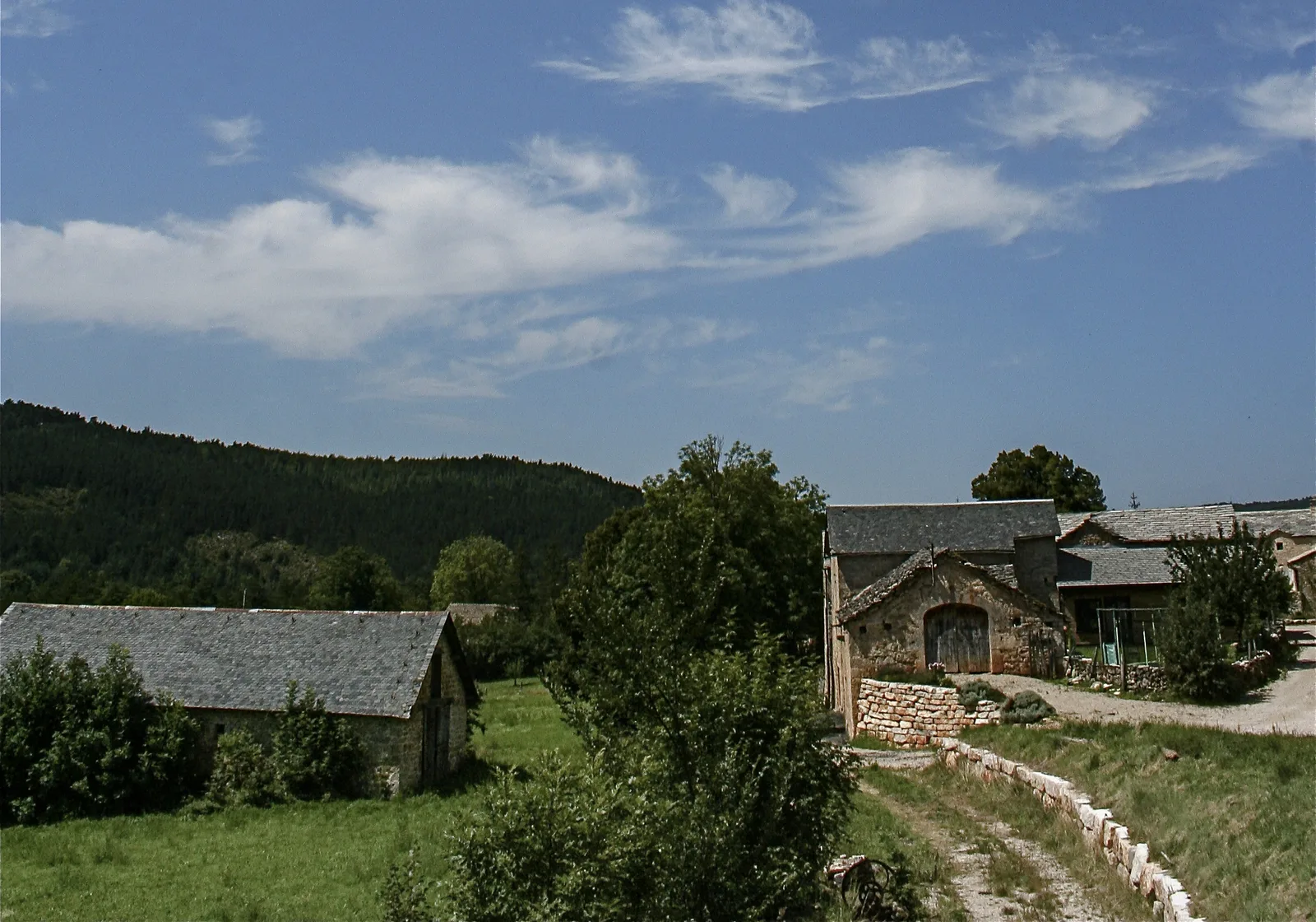
After the Gîte des Cayrelles, turn right and follow the road to Les Vinoux. Opposite the entrance to the village, turn left onto the path that climbs past a stone hut. Stay on the main path through meadows and woods to come to a fork.
Turn left, pass above the village of Maldefré and continue to a carved cross on the right by the side of the road. Turn right at the following intersections to the D32.
Go down the D32 for a few meters to turn right on the forest track which joins the Marguefré. Cross the hamlet to a cross to reach the starting point by descending to the left.
Cross the D32 to continue opposite. Cross a meadow for about 700 meters and leave the track to turn right towards Les Monziols. About 100 meters after the abandoned farm of Longuelouve, take the path on the left which goes up through the woods then continue up to the road to Monziols.
Continue to Marqueyrès, climb into the village then continue along the main track. Turn left on the track that intersects the loop, and continue towards Mazel-Bouissy. Go to the bottom of the Mazel until the D43.
Cross the road and go down the left path near a granite marker. Continue on a well marked track to the hamlet of Les Cayrelles.
After the Gîte des Cayrelles, turn right and follow the road to Les Vinoux. Opposite the entrance to the village, turn left onto the path that climbs past a stone hut. Stay on the main path through meadows and woods to come to a fork.
Turn left, pass above the village of Maldefré and continue to a carved cross on the right by the side of the road. Turn right at the following intersections to the D32.
Go down the D32 for a few meters to turn right on the forest track which joins the Marguefré. Cross the hamlet to a cross to reach the starting point by descending to the left.
