

Le Mandialou
Departing from Verlac, a typical mountain village to discover the village and the chapel of Aurelle. It can only be reached on foot!
Route details
Description
take the paved road to the west for 750m, direction signs, Aurelle,
Turn left for 1750m on the dirt road marked Aurelle. On a hundred meters, you cross a meadow.
New Aurelle marker, then 600 meters of descent to a tarmac cross path.
Turn left for about a hundred meters. Take a path on the right descending 1200m to Aurelle.
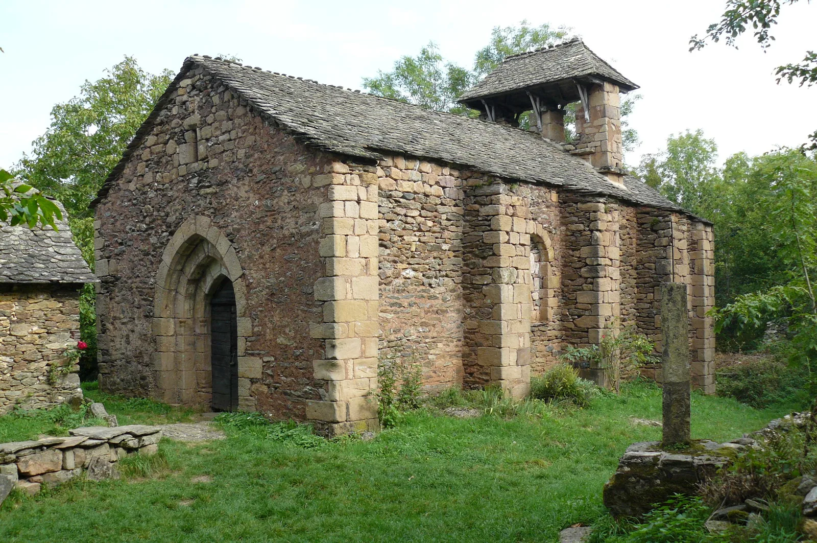
In Aurelle, continue following the path, until you reach a crossroads of 4 paths,
Take direction Verlac which is at 2400m passing through Verlaguet where we find the outward route.
Turn left for 1750m on the dirt road marked Aurelle. On a hundred meters, you cross a meadow.
New Aurelle marker, then 600 meters of descent to a tarmac cross path.
Turn left for about a hundred meters. Take a path on the right descending 1200m to Aurelle.
In Aurelle, continue following the path, until you reach a crossroads of 4 paths,
Take direction Verlac which is at 2400m passing through Verlaguet where we find the outward route.
