

Le Chemin de Saint-Guilhem par le GR®6 variante des Gorges du Tarn (d'Aumont-Aubrac aux Vignes)


240 km long, the Chemin de Saint-Guilhem™ crosses the vast natural spaces that link the department of Lozère in the north to that of Hérault in the south.
Route details
Description
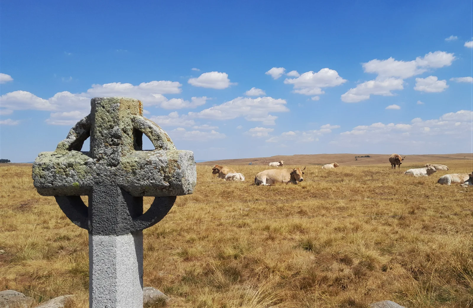
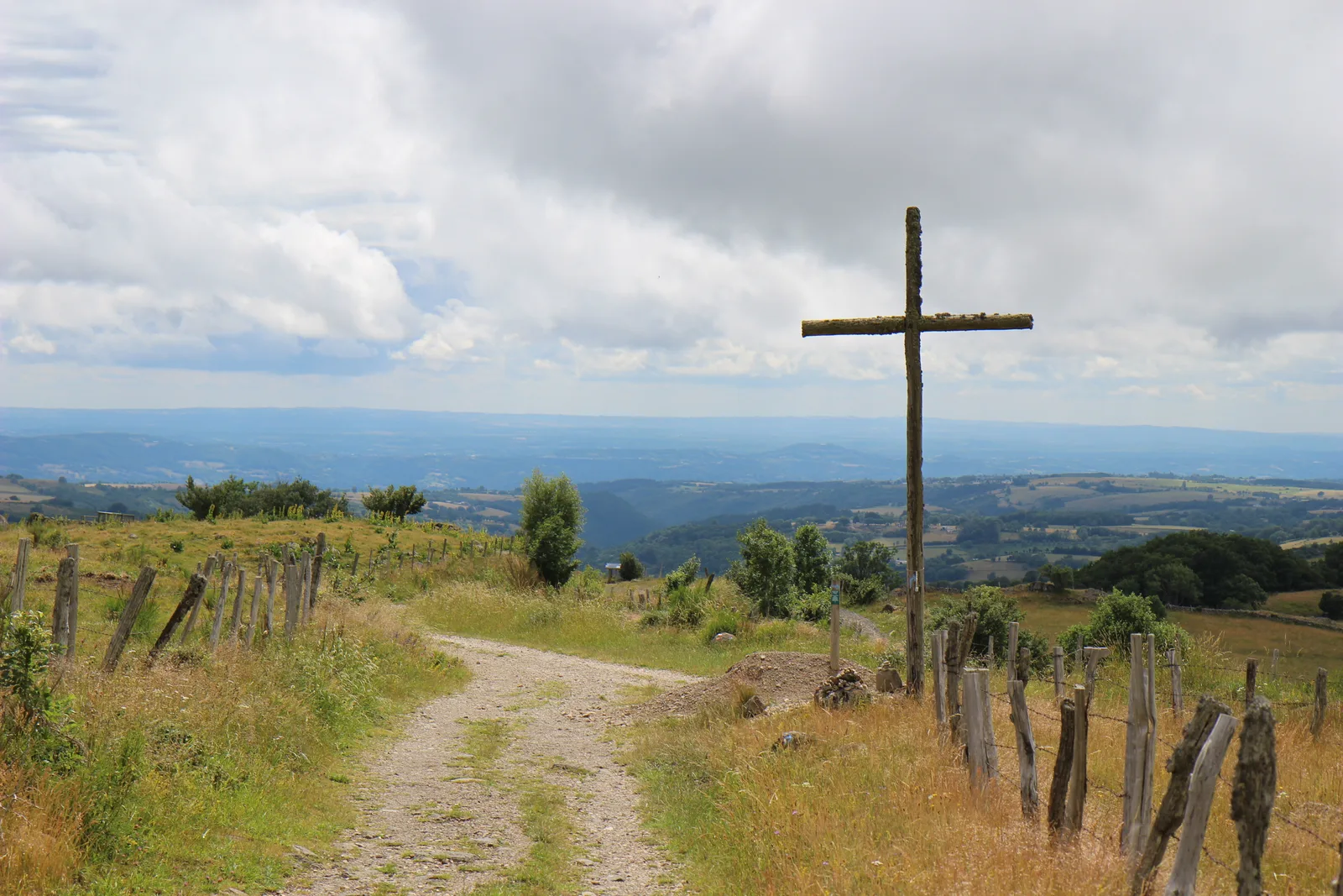
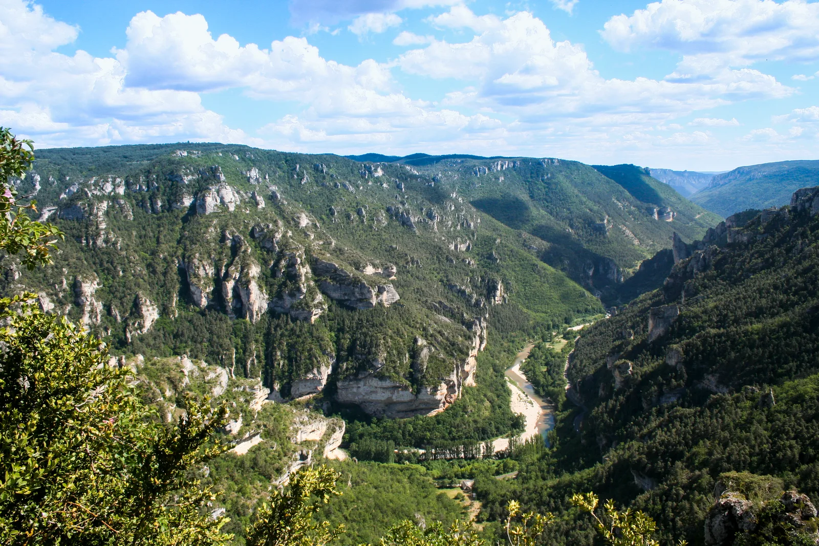
Connecting Aumont-Aubrac (via Nasbinals) to Saint-Guilhem-le-Désert, this path is a roaming route for a hike lasting around twelve days, notably crossing the landscapes and sites of Aubrac.
Here only the portion of the section going from Aumont-Aubrac to the commune of Les Vignes is displayed.
For more information on the full itinerary:
Obtain the Topoguide® published by the Hiking Federation: https://boutique.ffrandonnee.fr/le-chemin-de-saint-guilhem-le-desert
The Chemin de Saint-Guilhem website: https://chemin-st-guilhem.fr/
