

Le Challenge du Gévaudan
This route reserved for experienced cyclists crosses the 12 municipalities of the territory of the Community of Municipalities of Gévaudan. A significant sporting challenge with its very irregular terrain!
Route details
Description
From the Tourist Office, take the road north, go straight at the first roundabout and at the second go right on the D809 towards D'Aumont-Aubrac.
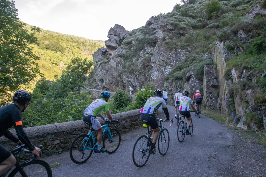
Turn right on the D2 towards St Léger de Peyre / Les Gorges de L'Enfer
In St Léger-de-Peyre turn left and start climbing the Gorges de L'Enfer and continue for 12,5km.
In the woods turn right on the D30 towards Recoules de Fumas and in the village in front of the cross turn left and continue on the D30 until Montchiroux.
On leaving the village turn right on the D999 towards Lachamp/Marvejols.
After the village of Mazet, go downhill and turn left towards Montrodat. Cross Inosse then Montrodat and go down to the roundabout on the D1.
At the roundabout take the D1 then D42 towards Goudard until Col de Goudard.
At the top of the Col de Goudard turn right to Grèzes, cross the village and go down the D808.
When you give way, turn right towards Marvejols then 1km later turn left onto Palheret and continue to Palhers.
In Palhers go up the main road and at the top of the hill turn right towards Les Bories.
On leaving Les Bories, take the first left to cross the plateau and descend to Le Monastier.
Go to Chirac and turn left in front of the Bakery towards Fabrèges / Altayrac / Volmanières.
At the exit of Volmanières turn right and continue towards Fabrèges d'Antrenas and continue until the motorway.
At the give way turn left then at the roundabout take the D900 towards Saint-Laurent-de-Muret.
At the Bonnal shack turn right towards Le Buisson.
In the village of Le Buisson stay on the right road and after leaving the village turn right before passing under the highway.
After having passed the two farms, at the bottom of the great descent turn right and 500m after turn left on the road which descends.
Find the roundabout taken at point 14 and take the direction of Marvejols.
