

Le Bois des Escoudats
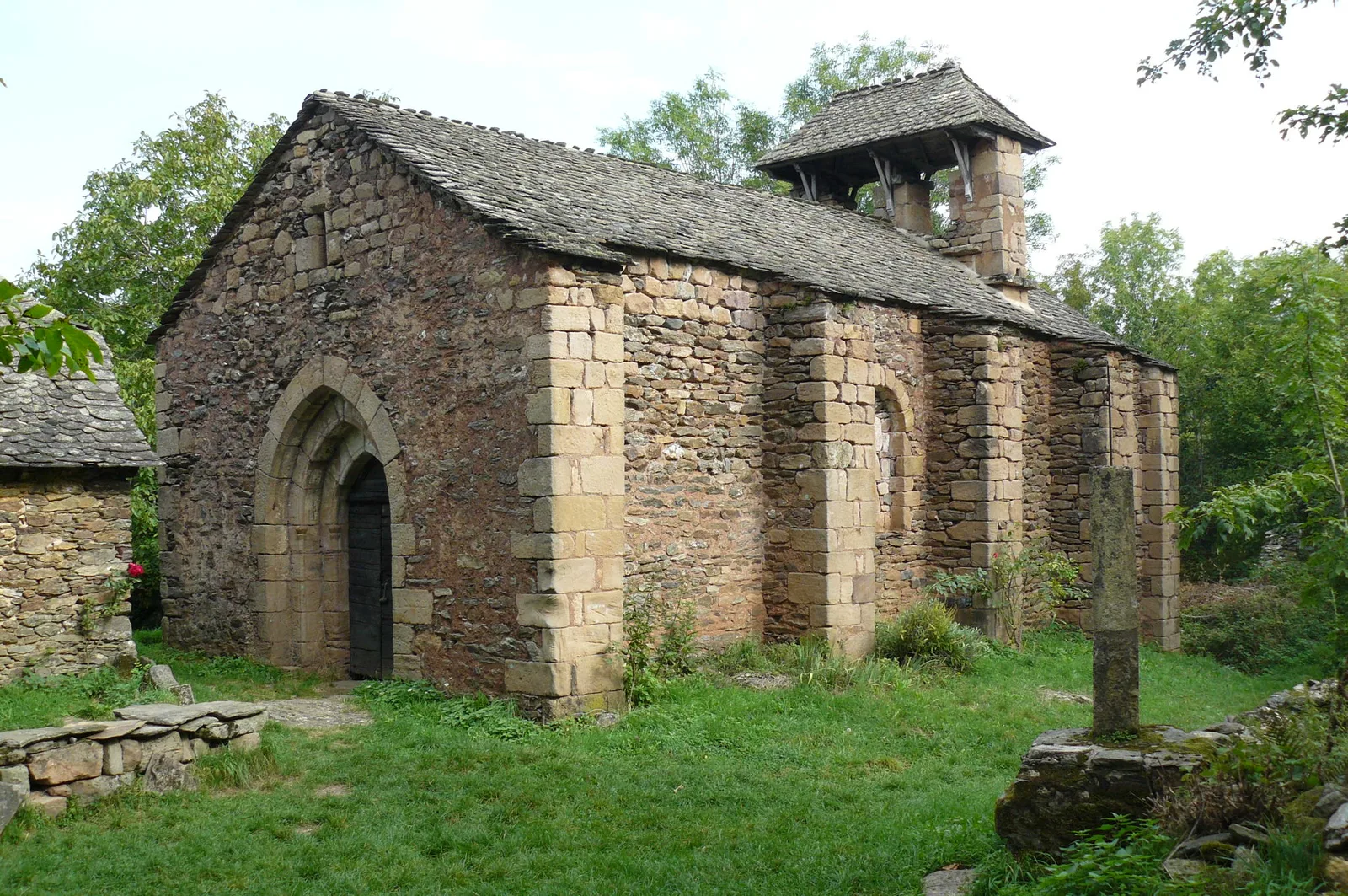
Departing from Verlac, a typical mountain village to discover the village and the chapel of Aurelle. It can only be reached on foot!
Route details
Description
Take the paved road to the west for 750 m, signs, Aurelle, Verlaguet.
Take the dirt road marked Aurelle to the west, 1700 meters of breathtaking panoramas are available to you. You will come out on a meadow of about a hundred meters which you will cross.
New Aurelle marker, on the right, 600 meters flat then descending to a tarmac cross path.
Turn left for about a hundred meters then turn right on a path descending 1200 m to Aurelle.
In Aurelle, follow the signs, after 270 m follow the straight path, 300 m further, you are on the footbridge of the stream (boralde) Mandaliou. The markings direct you to the right to the south and 700 m further on, the hamlet of Les Escoudats.
Take a 90° left due east, 400 m uphill, then 1000 m “head in the sky, marvelous Aubrac”!
up to a crossroads, turn right. Due south, Verlac sign, after 1700 m return to Verlac via Verlaguet.
