

La Combe-Crose – Parcours n°5
An easy and very pleasant hike which progresses on wide forest paths, but also in the heart of vast plains.
Route details
Description
From the village square of Brassac, with your back to the shoeing loom, the fountain on your left, go left between the houses. Leave the village and opposite the wooden shed, turn right. Cross a bridge over a stream and reach the road.
At the road, cross and take the path opposite towards the hamlet of Veydrine. After the farm, continue straight on an uphill path. View of St-Chély-d'Apcher and the Monts d'Aubrac.
At the intersection of 4 paths, turn left. 50m further on, keep the path which goes into the forest on the right. Proceed straight ahead until you reach a crossroads.
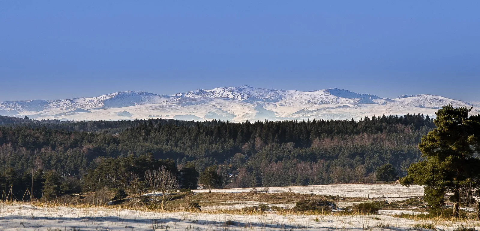
At the intersection, cross and stay on the main track until the next T-junction where there are yellow directional signs. View of St-Chély-d'Apcher on the left and view of Margeride on the right.
At the T intersection /!\ Intersection with route No. 2 /!\, turn left. Continue straight until you reach the village of Fosse. View of St-Chély-d'Apcher from the front and back, La Margeride.
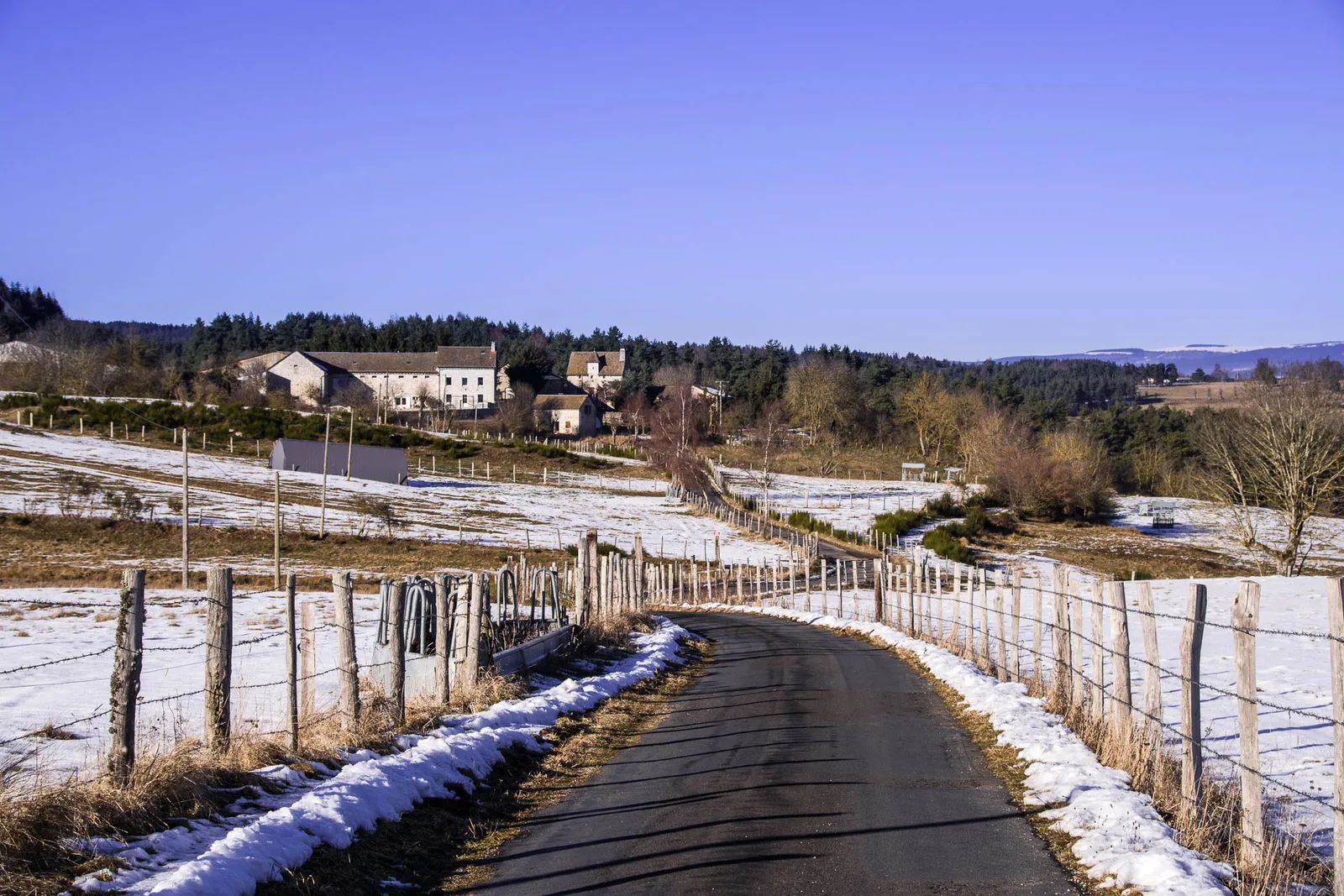
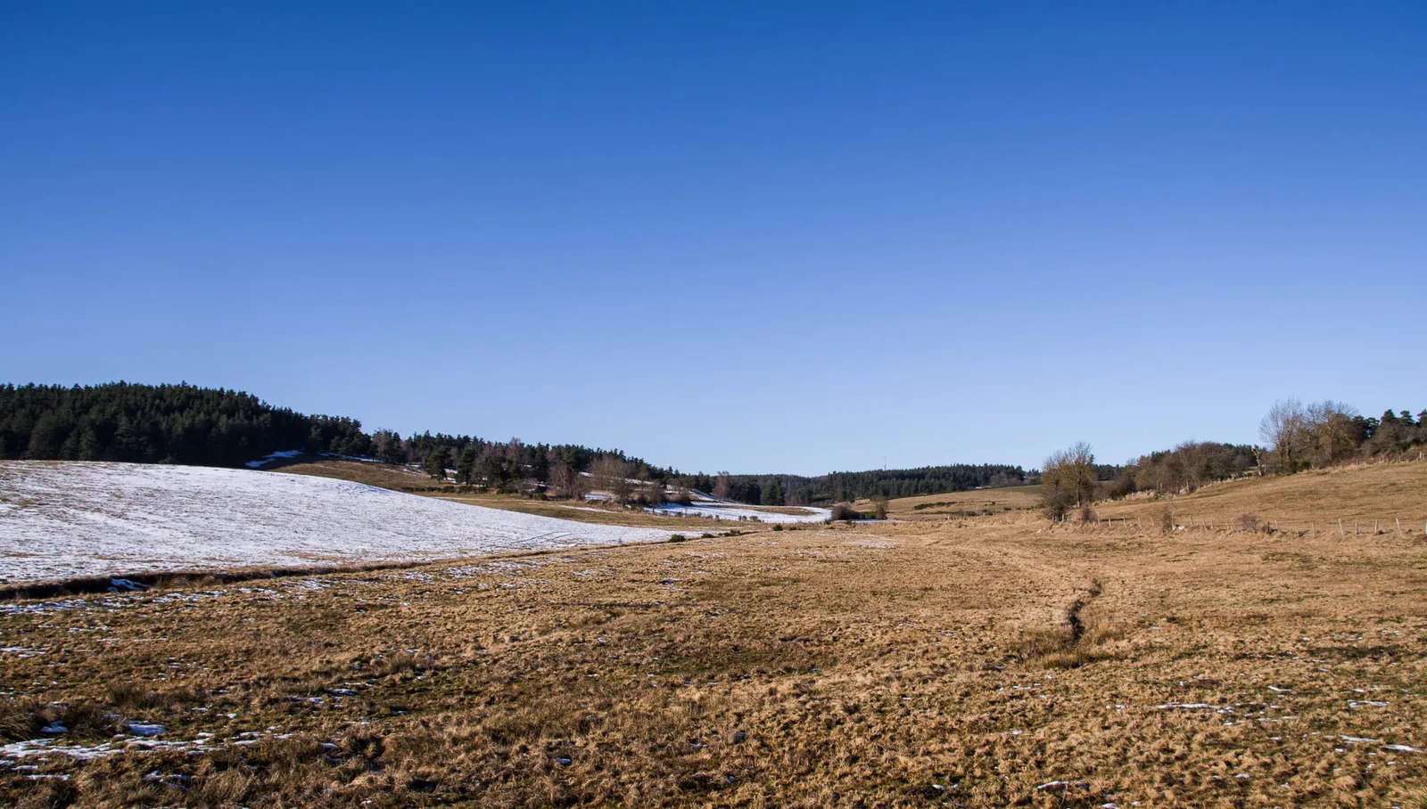
When you arrive at the first houses, go down and cross the village. At the cross and the fountain on the right, cross the road and continue downhill opposite. At the fountain, continue left, pass a chalet, leave the tarmac for a dirt road. Proceed straight ahead in the plain to the hamlet of Sarrus.
At Sarrus, cross the village by the main road. Always go straight ahead.
50m before arriving at the motorway junction, turn left onto the very wide path below. Follow the motorway then pass under a first tunnel, then, a little further, under a second. Continue along the highway for approximately 600m until you reach a crossroads.
At road level, turn left and go under the bridge. At the exit, turn right on an uphill dirt road. Then take an immediate left. Progress on a path lined with fir trees then join the road. Cross and return to the starting point.
At the road, cross and take the path opposite towards the hamlet of Veydrine. After the farm, continue straight on an uphill path. View of St-Chély-d'Apcher and the Monts d'Aubrac.
At the intersection of 4 paths, turn left. 50m further on, keep the path which goes into the forest on the right. Proceed straight ahead until you reach a crossroads.
At the intersection, cross and stay on the main track until the next T-junction where there are yellow directional signs. View of St-Chély-d'Apcher on the left and view of Margeride on the right.
At the T intersection /!\ Intersection with route No. 2 /!\, turn left. Continue straight until you reach the village of Fosse. View of St-Chély-d'Apcher from the front and back, La Margeride.
When you arrive at the first houses, go down and cross the village. At the cross and the fountain on the right, cross the road and continue downhill opposite. At the fountain, continue left, pass a chalet, leave the tarmac for a dirt road. Proceed straight ahead in the plain to the hamlet of Sarrus.
At Sarrus, cross the village by the main road. Always go straight ahead.
50m before arriving at the motorway junction, turn left onto the very wide path below. Follow the motorway then pass under a first tunnel, then, a little further, under a second. Continue along the highway for approximately 600m until you reach a crossroads.
At road level, turn left and go under the bridge. At the exit, turn right on an uphill dirt road. Then take an immediate left. Progress on a path lined with fir trees then join the road. Cross and return to the starting point.
