

La Chastelle
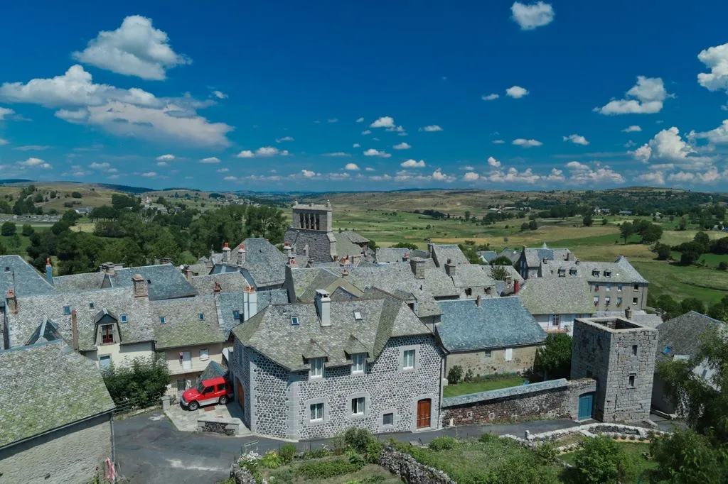
A day loop to explore the Aubrac plateau from Saint-Urcize.
Route details
Description
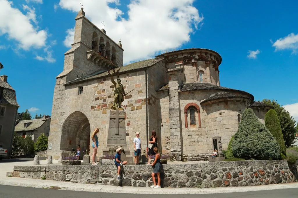
Exit the car park and turn left going up towards the church. Take the small road immediately to the right which passes in front of the bed and breakfast, then again to the right the path which descends towards Montfermier.
At the D13, continue opposite the gravelled path towards Soucharaldes. After Montfermier, basalt scree on the right resulting from frost erosion. In the village of Souscharaldes, at a cross, turn right for about 50 meters then left and take the small paths between the low walls.
At the crossroads of the drailles, turn left on a wide gravel track. Come out on the D65 and continue opposite, following this wide track always straight on for about 1,8 km until you find the D665.
Turn left on the road and follow it for 800 meters, then turn right at the crossroads in the direction of Panouval.
At the crossroads, turn left on the path that climbs towards the summer pastures (recent softwood hedges used as shelters for livestock).
Continue straight on the path through the mountain pastures and pass behind the Reboulet farm, join the road and take it to the right towards the ski resort.
Take the path on the left which goes down to the car park of the resort, then follow the forest track on the left for 200 meters to the ski lift. Take the wide path on the left which runs along the edge of the wood for about 1,5 km. It veers to the right and yaws up to the left. Continue straight until a plateau.
At the crossroads, turn left into the beech trees, cross the fence and continue straight on the path that descends into the mountain pastures. Cross another fence and continue straight on the grassy path.
Cross the small Hert river then turn right at the level of the first houses. Continue on this small path to Saint-Urcize.
At the road, cross the D813 and take rue de Font Rouge opposite. Climb the stairs on the left and take Rue du Poustel. Join the church square. Turn right and go down to the car park, the starting point of the hike.
