

GR® de Pays Tour des Monts d'Aubrac : De Saint-Urcize à La Chaldette
Description
GR® de Pays Tour of the Monts d'Aubrac: From Saint-Urcize to La Chaldette
Distance:20,1 km
Max Altitude :1182m
Your itinerary
Step 1
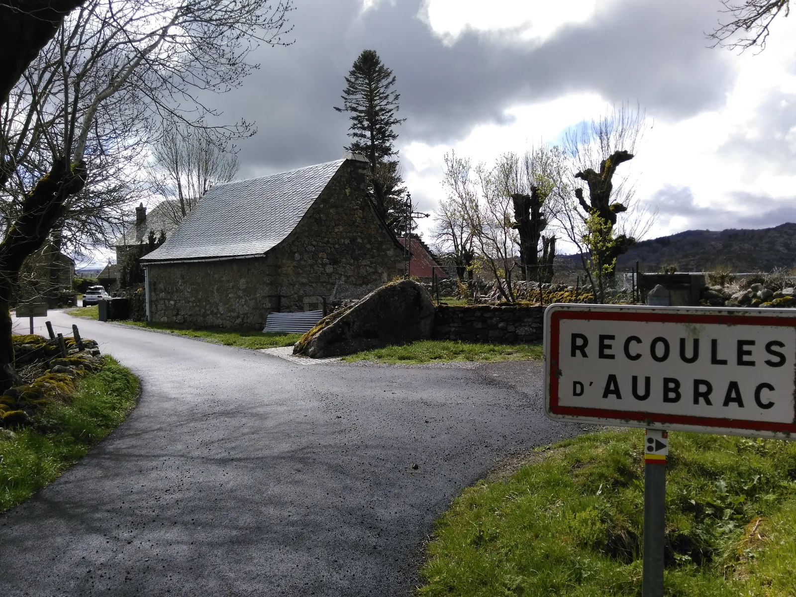
Pass in front of the church then leave the village by turning left with the school to join the D112. Continue for 400m then turn left at the cross to take the road to Recoules-d'Aubrac. Arrived at a fork, turn right then follow the church on a small road leading to Recoulette.
Step 2
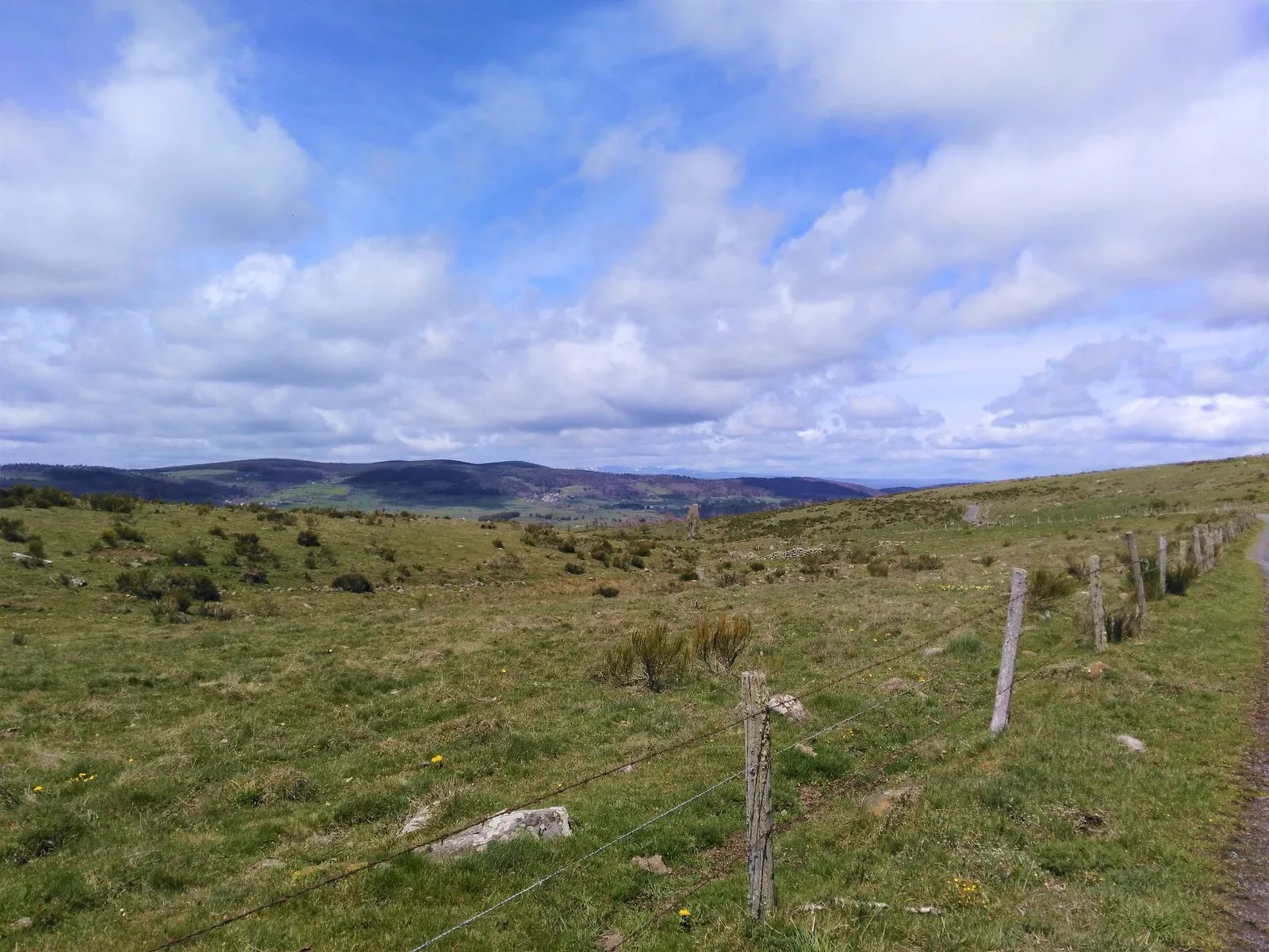
At Recoulette turn left towards a path with low walls. At the Buron du Bès continue to the Gournier bridge to cross it and turn right as soon as possible. Continue by road to the village of Escudière. Turn left at the entrance then left again to take a gravel road. Cross a meadow to reach a path which leads to La Brugère.
Step 3
From La Brugère take the gravel path between the buildings, continue like this, crossing the stream of las Chantagues. Continue in this way until Brion.
Step 4
On the church square take a grassy path on the left which joins a road which goes up on the left. Turn left onto the path before the house. Once you have recovered the gravel path, take it on the right to the hamlet of La Valentine.
Step 5
Continue along the path for 1km until a crossroads then turn right, go down to the road and turn left. 100m further turn right onto a path up to the D12 to reach La Chaldette.
Was this content useful to you?
Thank you
Thank you for taking the time to let us know that this content was helpful to you. Your encouragement is essential to us, and your feedback allows us to improve.
Thank you
Thank you for taking the time to let us know that this content was not helpful to you. We're sorry about that.
Share this content
Share this content
