

GR® de Pays Tour des Monts d'Aubrac : De Saint-Chély-d'Aubrac à Laguiole
Route details
Description
GR® de Pays Tour of the Monts d'Aubrac: From Saint-Chély-d'Aubrac to Laguiole
Distance:25,4 km
Max Altitude :1346m
Your itinerary
Step 1
From the car park opposite the village hotel-restaurant, follow the departmental road for 100m towards Aubrac. Go up to the left on the small road towards La Vayssière, and leave it after 800m for the path on the right going up to the farm. Pass it and continue climbing along the rocky path. Cross the stream, leave the forest and go straight on to Belvezet.
Step 2
In the village, take the road on the left and leave it 150m further for the uphill path on the right, ignore the descending paths and join the wide track. At the cross, take the gravel track rising to the left as far as the road.
Step 3
Take the departmental road to the left for 100m, at the picnic area turn right (ONF barrier) and follow a wide track which descends into the national forest. 100m after a hairpin bend to the left, turn right and continue downhill. Cross the stream and rise in the forest for 1,5 km then follow it on the edge to the crossroads.
Step 4
At the crossroads, go down 1km on the path on the left still on the edge of the wood. Go into the woods by the path on the right, go down 900m and cross the stream. Go up to the departmental road by forest paths.
Step 5
Cross it and continue the climb straight on the same path. Briefly leave the forest for the mountain pastures, leave the buron in the distance on the right; walk on a balcony in the woods and come out after 300m. Cross the pasture for 800m to return to the forest as far as the cross (Croix du Pal).
Step 6
From the cross, begin the descent along the crest path running alongside the woods and the fence. Reach the hamlet of Vayssaïre via a gravel path. At the hamlet, continue the descent on the road, ignore the first road going left and after 100m leave the road for the draille (gravel) going down to the left. After 1km continue on the right track to join the main road. Follow it to the right.
Step 7
Go past the "Point Vert" store and turn right on the road which descends towards Malgazet. After 600m, take the left path at the intersection. Join a road, turn left, leaving the campsite on the right, find the secondary road.
Follow it to the right and at the Laguiole roundabout, continue left on Allée de l'Amicale to reach Place du Taureau and finish the stage.
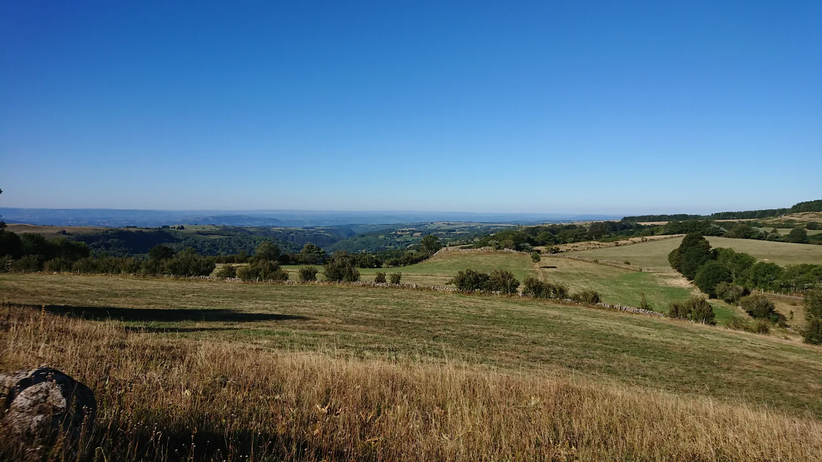
Neck of Belvezet
Village of Laguiole
Was this content useful to you?
Thank you
Thank you for taking the time to let us know that this content was helpful to you. Your encouragement is essential to us, and your feedback allows us to improve.
Thank you
Thank you for taking the time to let us know that this content was not helpful to you. We're sorry about that.
Share this content
Share this content
