

Des Granges aux Carbonnières
Departing from Nasbinals, in the heart of the Aubrac plateau, this circuit will take you through the Ruisseau de Nasbinals wetland and its rich biodiversity. Along the way you will see old crosses and barns. You will take the mythical Way of Saint Jacques de Compostela and pass at the foot of Notre Dame de la Sentinelle.
Route details
Description
Go around the apse of the church by going down the D 987. Just after [> the Maison Charrier (Tourist Office)] and the bridge over the Ruisseau de Nasbinals, go up opposite, leaving the fairground on your left. Continue this wide track always straight ahead, ignoring all trailheads to the left or right. About 500 m after the [ > Grange du Four], at the fork, turn right.
At the next crossroads, at the corner of the wood [ > view of Nasbinals, the Monts du Cantal, the plateaus of Brion and Grandvals], turn right. At the next intersection, in the woods, go down to the right. Descend gently and cross the Ruisseau de Nasbinals on a footbridge. Go up to the D 987 road. Cross it (> be careful!) and take the path opposite that passes behind the Cessat farm [ > view of the Burières woods and Notre Dame de la Sentinelle].
At the next crossroads, take the track on the left (junction with the GR® 65, Chemin de Saint Jacques de Compostelle, white-red markings). Ignore all the path departures, both on the right side and on the left side, and reach a “T” junction of wide tracks.
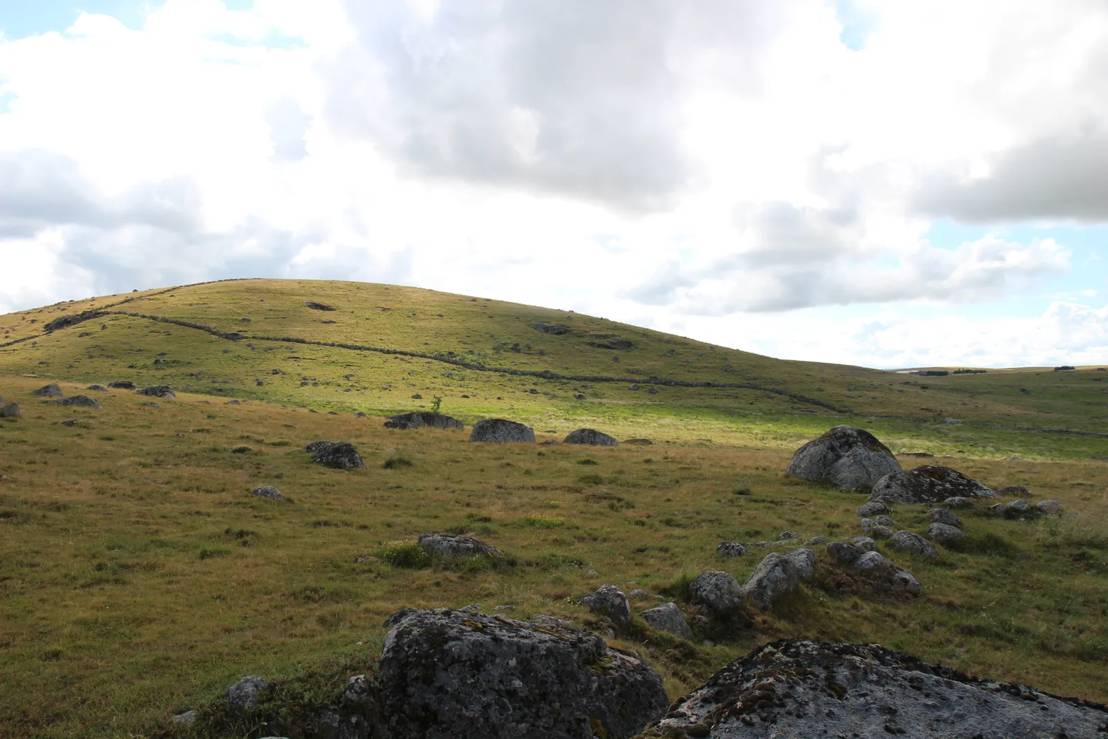
Leave the GR® 65 and take the logging road to the right which bypasses the elevation point 1 m [> view of the Monts du Cantal and the Col de la Fageole]. He crosses a stream. Just after, take the local road on the right. Follow it to the crossroads which leads to Tourettes on the right and Mas-de-Taly on the left.
Continue opposite, ignore the start of the access track to the equestrian lodge on the left and join the D 12 road. Follow it to the right (> be careful!) towards Nasbinals.
At the crossroads with the D 987, route d'Aubrac, turn left and return to the center of the village.
At the next crossroads, at the corner of the wood [ > view of Nasbinals, the Monts du Cantal, the plateaus of Brion and Grandvals], turn right. At the next intersection, in the woods, go down to the right. Descend gently and cross the Ruisseau de Nasbinals on a footbridge. Go up to the D 987 road. Cross it (> be careful!) and take the path opposite that passes behind the Cessat farm [ > view of the Burières woods and Notre Dame de la Sentinelle].
At the next crossroads, take the track on the left (junction with the GR® 65, Chemin de Saint Jacques de Compostelle, white-red markings). Ignore all the path departures, both on the right side and on the left side, and reach a “T” junction of wide tracks.
Leave the GR® 65 and take the logging road to the right which bypasses the elevation point 1 m [> view of the Monts du Cantal and the Col de la Fageole]. He crosses a stream. Just after, take the local road on the right. Follow it to the crossroads which leads to Tourettes on the right and Mas-de-Taly on the left.
Continue opposite, ignore the start of the access track to the equestrian lodge on the left and join the D 12 road. Follow it to the right (> be careful!) towards Nasbinals.
At the crossroads with the D 987, route d'Aubrac, turn left and return to the center of the village.
