

Courbepeyre et la Bédaule
Initially, under the supervision of the Château de Brion, this circuit rises slowly to the hamlet of Chabriès from where the church of Termes, Mont Alhérac and the Cantal volcano can be seen. On the way back, the site of the mills of Courbepeyre, on the edge of the Bédaule, brings an intimate note to this hike.
Route details
Description
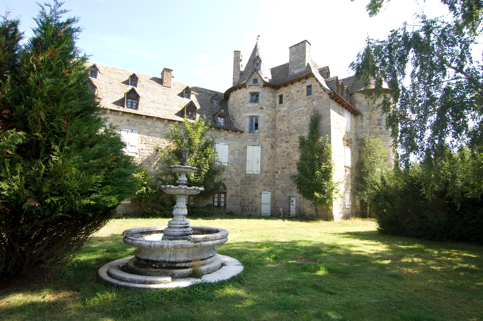
From the square (tourist information panels), pass in front of the town hall to cross the Bédaule on a footbridge. Cross the playground, then cross another wooden footbridge and join the road [ > view of the Château de Brion]. Follow the D70 and cross the Bernadel.
Take the path opposite. Go straight up [> view of Mont Alhérac behind you]; on the plateau, [ > view of the mound and the church of Termes] after about 2 km at a crossroads, continue straight ahead.
At the next large crossroads, turn right then, after 20 m, left. At the next intersection, continue left. Cross the road and continue towards Chabriès [ > view of the Puech de Montaigut and, on the right, the Margeride.]
In Chabriès [ > view of the church of Termes and Mont Alhérac], at the cross, continue to the left. At the last house, continue on a path keeping to the left [ > view of the Cantal mountains, in particular the Plomb (1858 m)]. At the crossroads, at the bottom of the descent, turn left. Follow the main path.
Arriving in Courbepeyre, we reach the paved road, go to the right. Do the same at the next two crossings. Descend following the small paved road. Cross the Bédaule on a bridge [ > site and old mills of Courbepeyre] and go up to Mazel. At the first houses, continue to the right.
At the cross, take the tarred local road to the left [ > stone trough] and reach the main road. Follow it to the left [ > view of Fournels] and reach the village [ > church with steeple-wall with arcades].
