

Boucle du Loup
A forest and panoramic route to discover the history of Aubrac
Route details
Description
From the car park in the center of the village, head towards the war memorial then continue on the D52. Follow it on the left, cross the Taillat stream, continue for 100 m. Turn off onto the left path (GR60A); leave two paths on the right and turn right at the next fork. At the next crossroads, before a reservoir, go down to the right to the D52. Follow it to the left then take the D56 for about 50 m.
Head opposite, on the dirt road then left at the edge of the woods. In the woods, at an intersection, go down to Pierrefiche. Cross the village on the D56, then take the small road on the left which goes up to the Col des Quinsous.
Take the path on the left between the pastures. Pass a path on the left and reach a coniferous wood. Turn right, then left, and continue along the woods until you reach the Croix du Loup. Follow the track to the right for around 200 m.
Proceed on the left path, which crosses the woods (Bouos de la Gleize). Continue on the path, leaving two paths on the left. Cross the stream, then go down towards Salces.
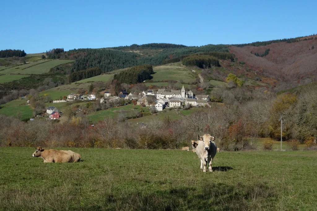
Continue along the edge of the woods to the village.
Head opposite, on the dirt road then left at the edge of the woods. In the woods, at an intersection, go down to Pierrefiche. Cross the village on the D56, then take the small road on the left which goes up to the Col des Quinsous.
Take the path on the left between the pastures. Pass a path on the left and reach a coniferous wood. Turn right, then left, and continue along the woods until you reach the Croix du Loup. Follow the track to the right for around 200 m.
Proceed on the left path, which crosses the woods (Bouos de la Gleize). Continue on the path, leaving two paths on the left. Cross the stream, then go down towards Salces.
Continue along the edge of the woods to the village.
