

Autour du Coulagnet – VTT n°3
A sporty and varied route which will take you through pretty little villages and will offer you lovely views of the surrounding area FFC Gévaudan MTB site MTB destination – route n°3 red – difficult level
Route details
Description
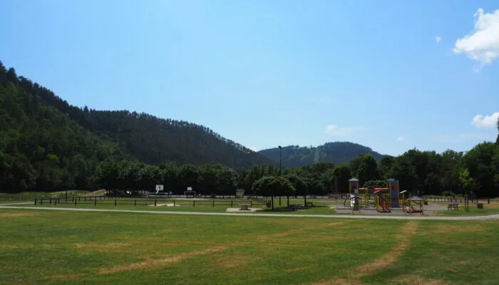
1. Take the footbridge towards the esplanade de Marvejols then go north to the multipurpose room. Turn left on avenue du Cheyla to the roundabout and turn right on avenue des martyrs de la resistance then, at the end of the avenue, turn left on avenue de pineton. Then turn right on the avenue du 19 mars 1962 to the "Grenier" district, cross a bridge then the hamlet and turn left on the paved road which begins to climb. 2. Continue climbing on a track that will take you to the Poujoulet plateau. Once on the plateau, at the crossroads of several tracks, take the small path on the left to arrive on a small road where you will have to turn left in the direction of Valadou. 3. 300m further, take a track on the right. At the next intersection, leave the track on the left and continue straight until you reach a road (D999). 4. At the level of the Siffleur cross, cross the road and take the descending track. In a right bend, leave the 2 paths that go left and continue on the main track. 5. Where the track begins to climb, take a small path to the right. This small, playful path will take you to the village of Montrodat. Bypass the playground on the left and turn left at road level. 6. Then take the first road on the right which becomes a track. Stay on this main track until you reach a new road. 7. Turn left on the road until the next hairpin on the left and take the track on the right. Stay on this main track. At the intersection of 2 paths, take the path to the right and continue to the edge of the Colagne to arrive at the squirrel bridge. Be careful, this part is a bit technical and requires sufficient technical background. 8. Turn right on the road and take the direction of Marvejols. 9. 1km further, take a small road towards Péjas, a small village nestled on the plateau. Cross the village and continue on the main track towards the village of Marques. 10. Cross the village and continue on a tarmacked road until the first track on the right which goes down to Marvejols. Follow this track until you find yourself on a small road and continue straight. The Mascoussel sports complex is in front of you.
