

Au seuil de l'Aubrac – Parcours n°9
A long hike, but without great difficulty where one evolves on wide paths through villages and meadows.
Route details
Description
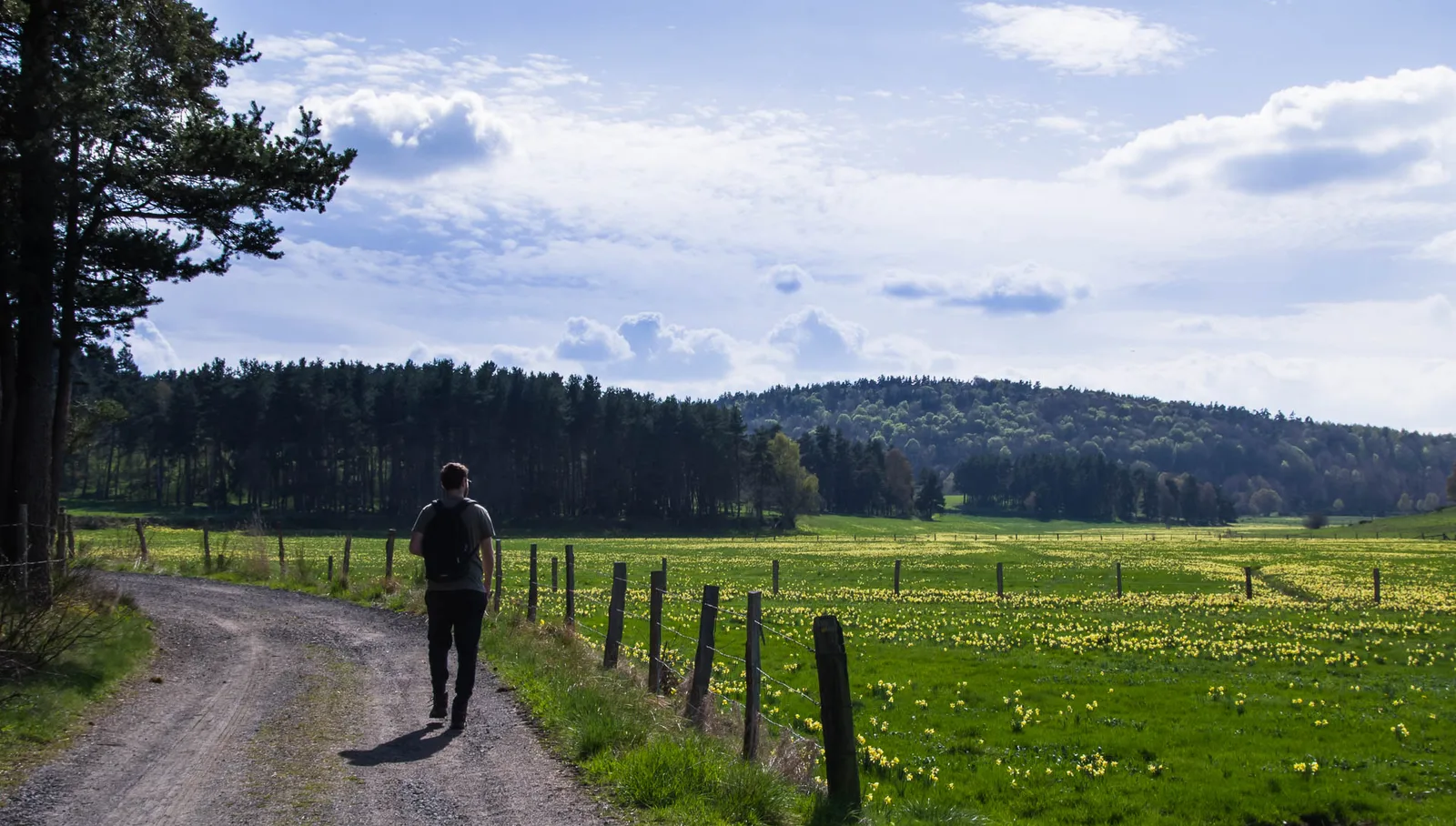
From the car park, with your back to the village hall, turn left towards the village center. At the crossroads, follow the small road to Poulges. At the entrance to the hamlet, turn left and stay on the tarmac (water trough and bin). At the last house, continue on a path. With granite outcrops, view of the Margeride mountains. Reach the road around a bend. Cross the D989 road with caution (reduced visibility) and continue opposite on a path to Termes. Follow the road opposite.
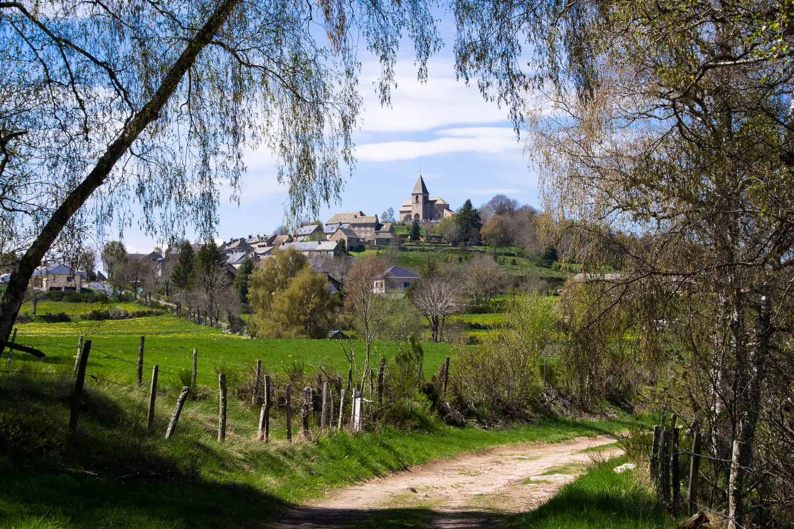
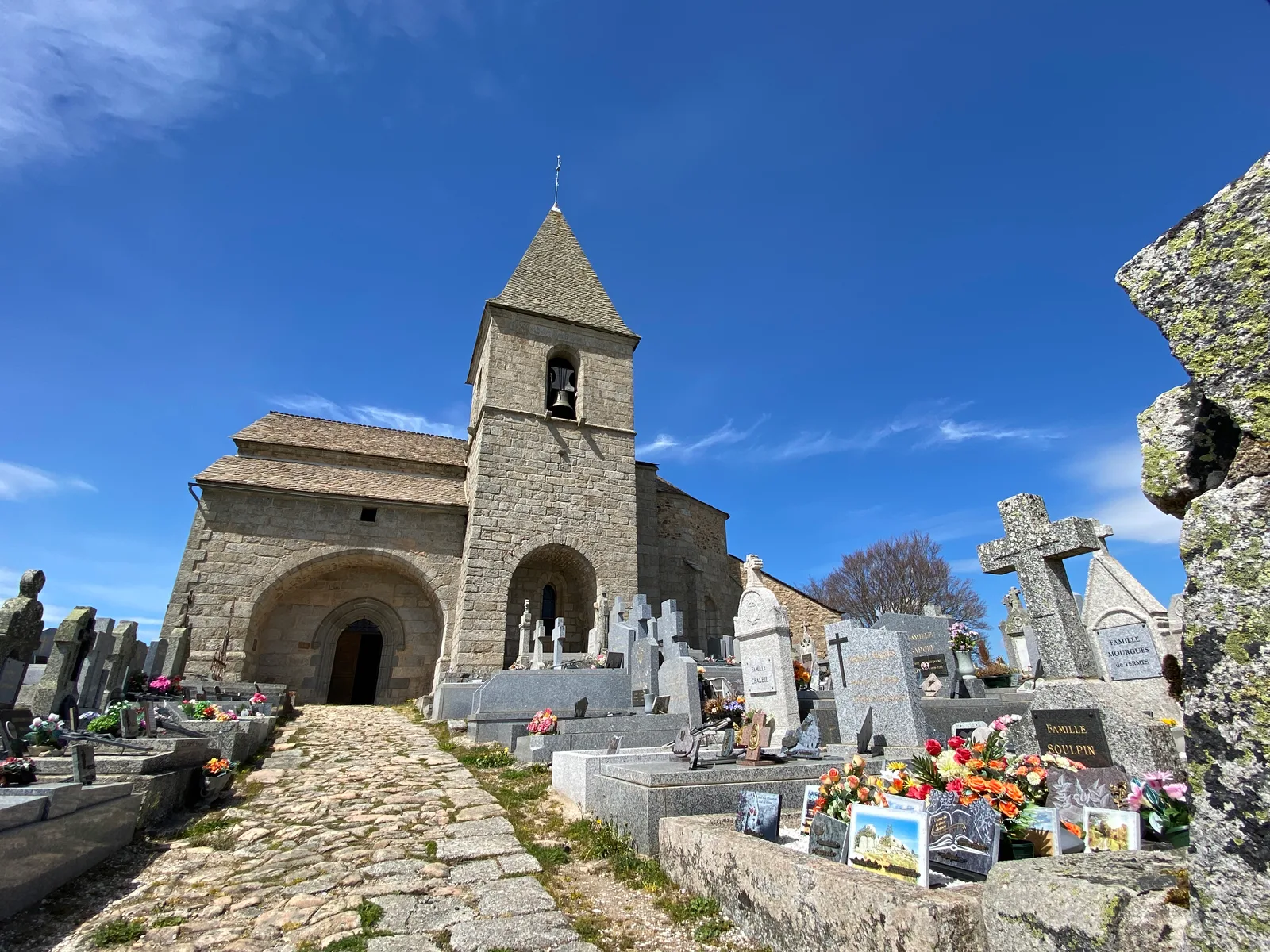
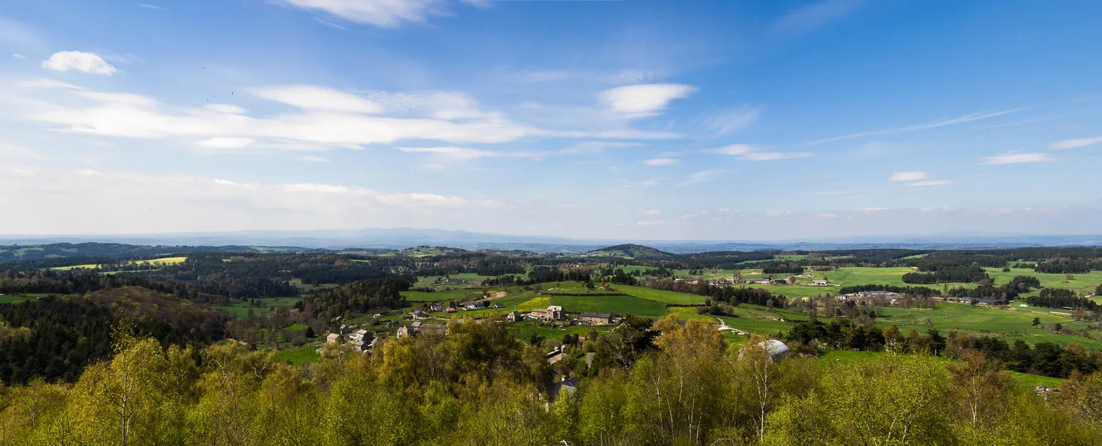
In Termes, turn right then head towards the church (return possible to the promontory for views; possible visit to the honey house “Les bees du Cantou”; the cross behind the church: view on the left on Mont Alhérac and the Cantal massif – Orientation table); turn right and leave the village via a dirt road until you reach a crossroads. The church overlooks on the left.
At the crossroads (Narce equestrian farm) with a wide track, turn right towards La Croze – /!\ Junction between several PRs – and continue straight on, ignoring the paths on either side. Cut the road towards La Croze.
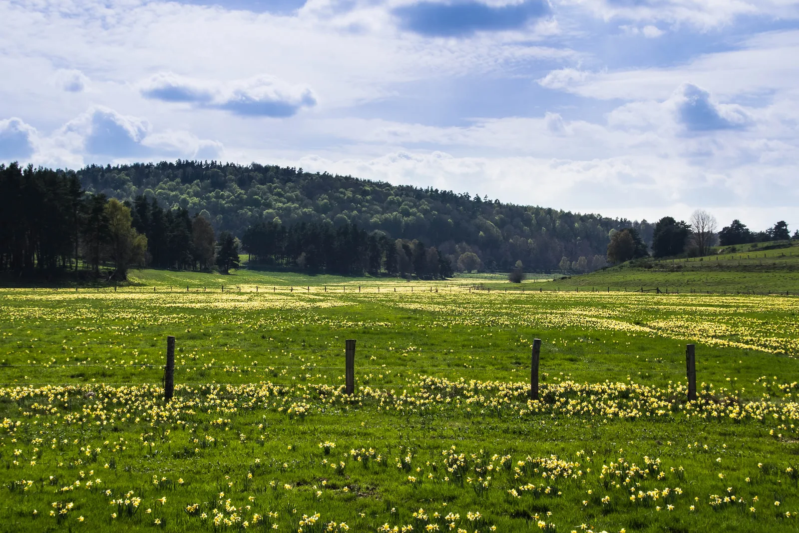
In the hamlet, turn left and go down opposite on a path. After the stream, stay left. Follow a grassy path straight between meadows and woods. At the fork, leave the path on the left to reach the road. At the crossroads, turn right to Les Aloziers.
In Aloziers, go to the center of the village, at the cross, take the second path from the left (view of the Margeride); leave a path on the left and continue straight on until the D989 (cross).
Turn right then turn onto the first path on the left. At the entrance to La Fouillarade, take the road on the left.
After the Gazelle bridge, follow the wide track to the right until you reach a road.
Take it on the right. At the fork, stay left and enter Chaulhac. Stay to the left (bread oven, water trough). Go up to the hamlet by the road. Extend by a path. At the fork, go up to the left (view of the Cantal massif on the right).
At the crossroads, turn right. At the next one, stay right until Viala. At the cross, turn left (right, 100m from the Viala mill from 1822). At the road, turn left to the village of Fage-Saint-Julien to reach the arrival point.
In Termes, turn right then head towards the church (return possible to the promontory for views; possible visit to the honey house “Les bees du Cantou”; the cross behind the church: view on the left on Mont Alhérac and the Cantal massif – Orientation table); turn right and leave the village via a dirt road until you reach a crossroads. The church overlooks on the left.
At the crossroads (Narce equestrian farm) with a wide track, turn right towards La Croze – /!\ Junction between several PRs – and continue straight on, ignoring the paths on either side. Cut the road towards La Croze.
In the hamlet, turn left and go down opposite on a path. After the stream, stay left. Follow a grassy path straight between meadows and woods. At the fork, leave the path on the left to reach the road. At the crossroads, turn right to Les Aloziers.
In Aloziers, go to the center of the village, at the cross, take the second path from the left (view of the Margeride); leave a path on the left and continue straight on until the D989 (cross).
Turn right then turn onto the first path on the left. At the entrance to La Fouillarade, take the road on the left.
After the Gazelle bridge, follow the wide track to the right until you reach a road.
Take it on the right. At the fork, stay left and enter Chaulhac. Stay to the left (bread oven, water trough). Go up to the hamlet by the road. Extend by a path. At the fork, go up to the left (view of the Cantal massif on the right).
At the crossroads, turn right. At the next one, stay right until Viala. At the cross, turn left (right, 100m from the Viala mill from 1822). At the road, turn left to the village of Fage-Saint-Julien to reach the arrival point.
