

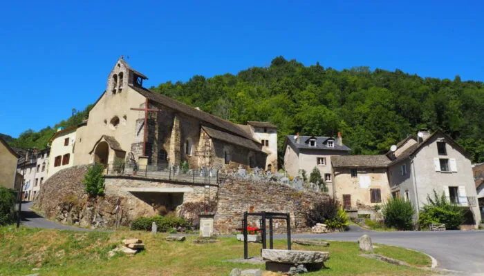
A travers la vallée de l'Enfer – VTT n°7
For challenge lovers, a physically and technically difficult circuit on the crests of the Vallée de l'Enfer. FFC Gévaudan MTB site MTB destination – route n°7 red – difficult level
Route details
Description
1. From the village hall car park, return to the entrance to the village and turn right in front of the inn towards the Vallée de l'Enfer. 2. Continue on the D2 for almost 4kms, then take the track to the right to the village of Fraissinet. 3. In the village turn right and follow the direction of Espères. 4. Go through the village of Espères and on leaving the village, turn left on a wide track (km8). Follow it to a cross and continue straight to the villages of Faybesse Haute then Faybesse Basse and then follow the direction of Recoules de Fumas. 5. 1km after Faybesse basse, turn right towards Les Cayres then in the village of Les Cayres turn left and continue the small road to Recoules de Fumas. 6. Turn left in the village and 100m after, turn left again on a road which then turns into a track. 7. Turn left on the D1 then continue right on a wide track to take as far as the "croix de Raymond". at a crossroads with the D3. 8. Continue straight on the track then turn left on the D73 to reach the village of Saint Sauveur de Peyre. 9. In the village take the first left towards Recoules de Fumas / St Amans, then follow the direction of Roc de Peyre. 10. At the foot of the Roc de Peyre, take the path which goes down towards Chanteduc then continue on the road which becomes a track again until Peyreviolle. 11. Continue the road to Laval 12. In the small hamlet of Laval turn right and take the rising profile track 13. 3,5kms further on, turn left towards the village of Chazotette. 14. In the village take the small path which goes down towards Andagnols and go up to Rouvière 15. Turn left in the direction of Ste Lucie / Parc aux loups du Gévaudan. 16. Continue on the road that runs alongside the Wolf Park and before entering Ste Lucie, take the track to the right at a cross. 17. Descend on the main track to the small hamlet of Gratoux then take a small path on the left which returns to St Léger de Peyre.
