

Boucle des Baltuergues, circuit n°2 moyen
Route details
Description
Loop of the Baltuergues, circuit n°2 medium
Distance:17,4 km
Max Altitude :895m
Your itinerary
Step 1
From Place des Tilleuls in Sainte-Geneviève-sur-Argence (war memorial), go down Rue Pont-de-Peyrenq (D78). At the stone cross, turn right onto the footpath and follow the Argence. At the bridge, turn left, walk along the petanque ground then the small body of water. At the road, turn left and enter the La Vignotte housing estate. After 20m, take the small path to the right which runs along the body of water. At the barbecues, turn left along the bowling alley and the stretch of water as far as the D 900. Follow it to the left for 550m (caution!) then cross a stile on the left (ladder which allows you to cross a fence) .
Step 2
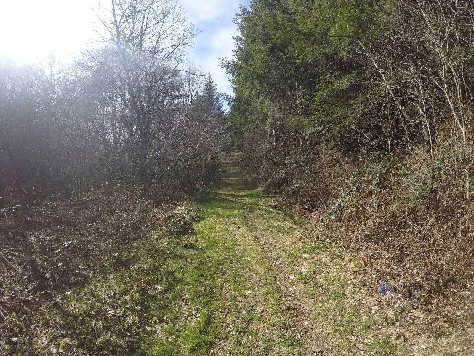
Walk along the plot to the right then, before the river, cross the fence (stair). Follow the Argence Vive and reach the mill of Peysset. Leave the farm on the left and find the D 900. Cross (caution!) and continue towards Marso. Before the hairpin bend, turn right on a path that climbs behind the farm buildings, then cross Marso. Pass in front of the bread oven and continue on a farm track. At the crossroads, turn right on a track for 1,3 km then turn left on the track at the fork to reach the road.
Variant n°1 (8 KM): at the road turn right to return to Sainte-Geneviève-sur-Argence.
Step 3
Cross the hamlet of Rives, continue straight at the first crossroads then take a slight right to leave the hamlet and join the track to Carmensac. Before entering the hamlet take the road going down to the left which winds up to the D111. AT the crossroads with the departmental road, take the track opposite for 1km to the crossroads of the tracks to turn left.
Step 4
After a hairpin bend on the left, take another hairpin bend on the right to descend into the forest to go to the climbing site. Continue on the track until you get to the left on a path that leads to a footbridge, cross it. Go up on the path then go left towards the hamlet of Saint-Yves.
Step 5
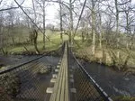
Go up the hamlet to the last houses and go left on a path bordered by low walls and descend by a track in the woods. Pass under the high voltage line and continue on a level track for 2,5 km. Cross a stream (ford) and turn right (pay attention to the markings) on a single-track path that climbs through the woods then joins the banks of the Argence. Take the suspension bridge.
Step 6
Take the track on the right after the suspension bridge then cross the Argence again on a small dam, take the path to the road. Turn left towards Sainte-Geneviève. At the crossroads continue straight to the village and turn left to reach the Place des Tilleuls.
The Gourgue de Maroule trail
Was this content useful to you?
Thank you
Thank you for taking the time to let us know that this content was helpful to you. Your encouragement is essential to us, and your feedback allows us to improve.
Thank you
Thank you for taking the time to let us know that this content was not helpful to you. We're sorry about that.
Share this content
Share this content
