

Boucle des Baltuergues, circuit n°3 long
Route details
Description
Your itinerary
Step 1
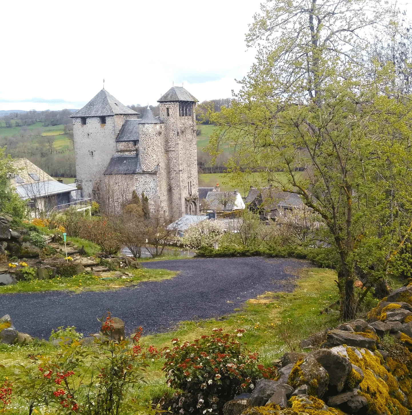
From Place des Tilleuls in Sainte-Geneviève-sur-Argence (war memorial), go down Rue Pont-de-Peyrenq (D78). At the stone cross, turn right onto the footpath and follow the Argence. At the bridge, turn left, walk along the petanque ground then the small body of water. At the road, turn left and enter the La Vignotte housing estate. After 20m, take the small path to the right which runs along the body of water. At the barbecues, turn left along the bowling alley and the stretch of water as far as the D 900. Follow it to the left for 550m (caution!) then cross a stile on the left (ladder which allows you to cross a fence) .
Step 2
Walk along the plot to the right then, before the river, cross the fence (stair). Follow the Argence Vive and reach the mill of Peysset. Leave the farm on the left and find the D 900. Cross (caution!) and continue towards Marso. Before the hairpin bend, turn right on a path that climbs behind the farm buildings, then cross Marso. Pass in front of the bread oven and continue on a farm track. At the crossroads, turn right on a track for 1,3 km then turn left on the track at the fork to reach the road.
Variant n°1 (8 km): at the road turn right to return to Sainte-Geneviève-sur-Argence.
Step 3
Cross the hamlet of Rives, continue straight at the first crossroads then take a slight right to leave the hamlet and join the track to Carmensac. Before entering the hamlet take the road going down to the left which winds up to the D111. AT the crossroads with the departmental road, take the track opposite for 1km to the crossroads, turn left.
Step 4
After a hairpin bend on the left, take another hairpin bend on the right to descend into the forest to go to the climbing site. Continue on the track until you get to the left on a path that leads to a footbridge, cross it. Go up on the path then go left towards the hamlet of Saint-Yves.
Step 5
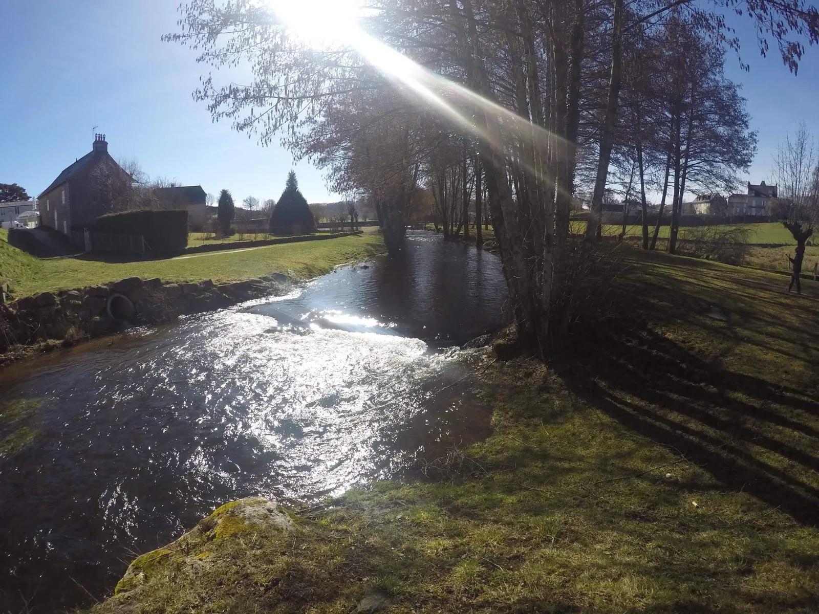
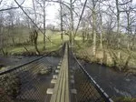
Go up the hamlet to the last houses and go left on a path bordered by low walls and descend by a track in the woods. Pass under the high voltage line and continue on a level track for 2,5 km. Cross a stream (ford) and turn right (pay attention to the markings) on a single-track path that climbs through the woods then joins the banks of the Argence. Take the suspension bridge.
Variant n°2: follow the path to the right to return to Sainte-Geneviève-sur-Argence.
Step 6
By road, cross at Mels, pass in front of the chapel and reach a crossroads (possible access to the “Le Bout du Monde” viewpoint: turn left alongside a barn and reach the site 100 m away – be careful, site no secure). Cross the village, leave the road and continue opposite for 800 m along a farm road. Pass the high voltage line.
Step 7
Continue left. At the road, go right for 300m then turn left on a forest track which crosses the downhill bike area (be careful). After the ford, go to the right on a single-track steep path in a beech forest (pay attention to the markings). Exit the wood (stile), go straight across the plot for 50 m, pass under the high voltage line and continue on the path.
Step 8
At the top of the plot, follow a wide path to the left and exit by a stile. follow the path in the undergrowth for 1km. Go up to the right, pass the Virgin of Libouret and reach the plateau of Puech d'Orlhaguet by a very beautiful path lined with low walls.
Step 9
At the road, go down opposite then follow a path to reach the place of the church of Orlhaguet. In front of the porch, turn right, pass under the arch then turn left to leave the village.
Step 10
Take the path on the left towards Malentraysse. Before entering the hamlet, go right into a plot and walk along the wall (three stiles). Take the road to the right for 100m then go down to the left to reach the banks of the Argence Vive (stile).
Step 11
Cross the footbridge and follow the left bank to a fence. Go up along the pasture. Continue on the path that goes up, then to the right, at the entrance to the housing estate. Continue along a footpath, rue de Nouelles, rue de l'Anglade, the crossroads of the D78, then cross the Argence and reach the town centre.
